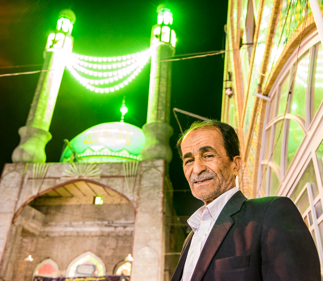
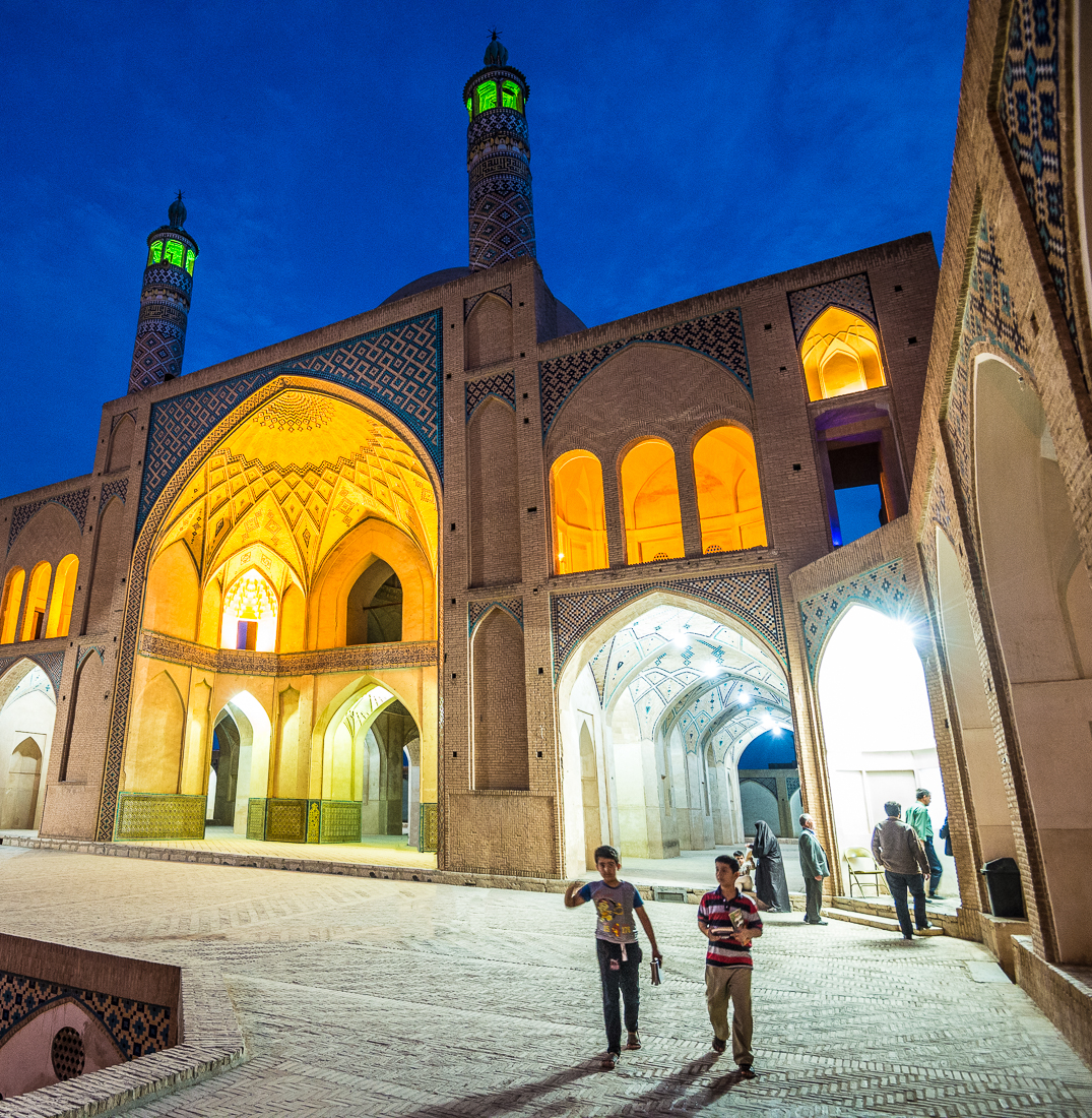
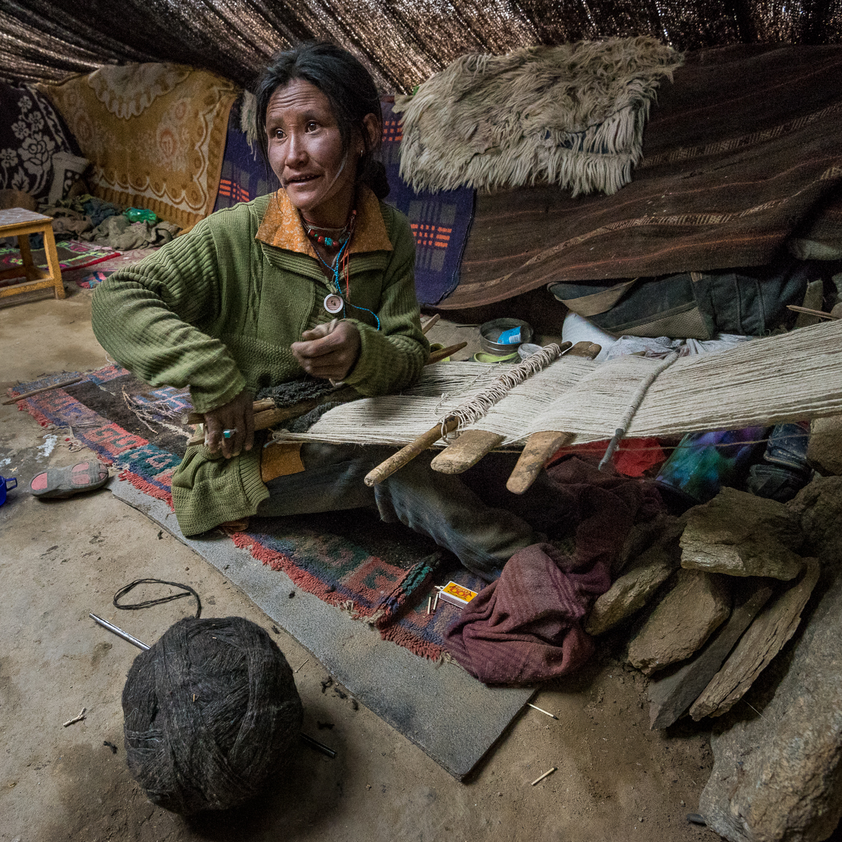
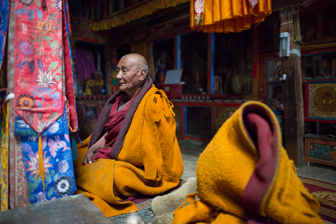
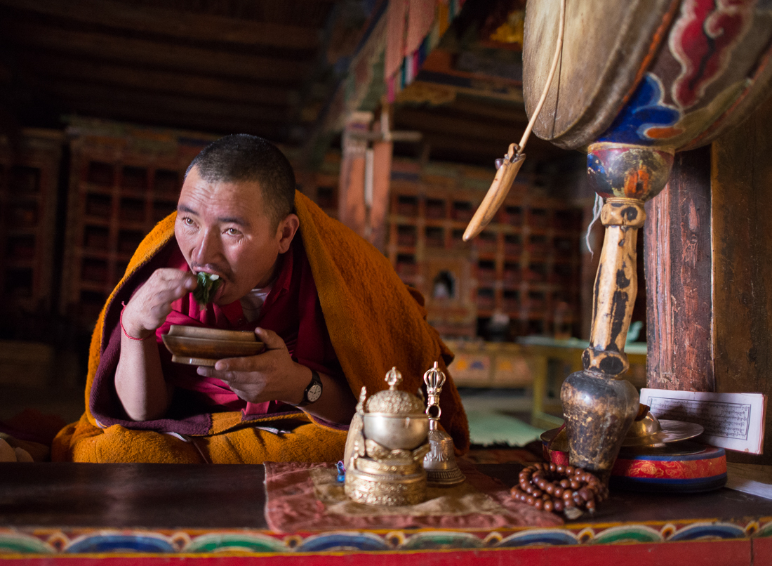
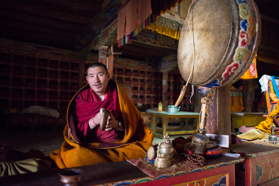
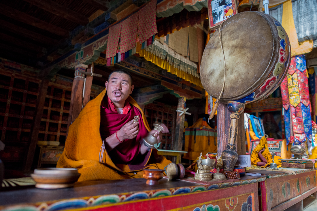
This wasn’t a ‘serious’ photo expedition like some of my trips. This one was about sailing, biking and general sightseeing with a handful of friends, old and new. Just a few thoughts and a few pretty pictures to share . . . .
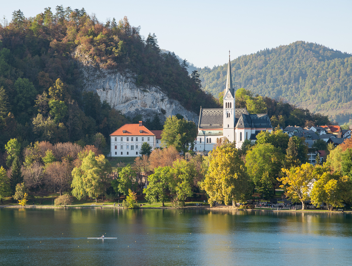
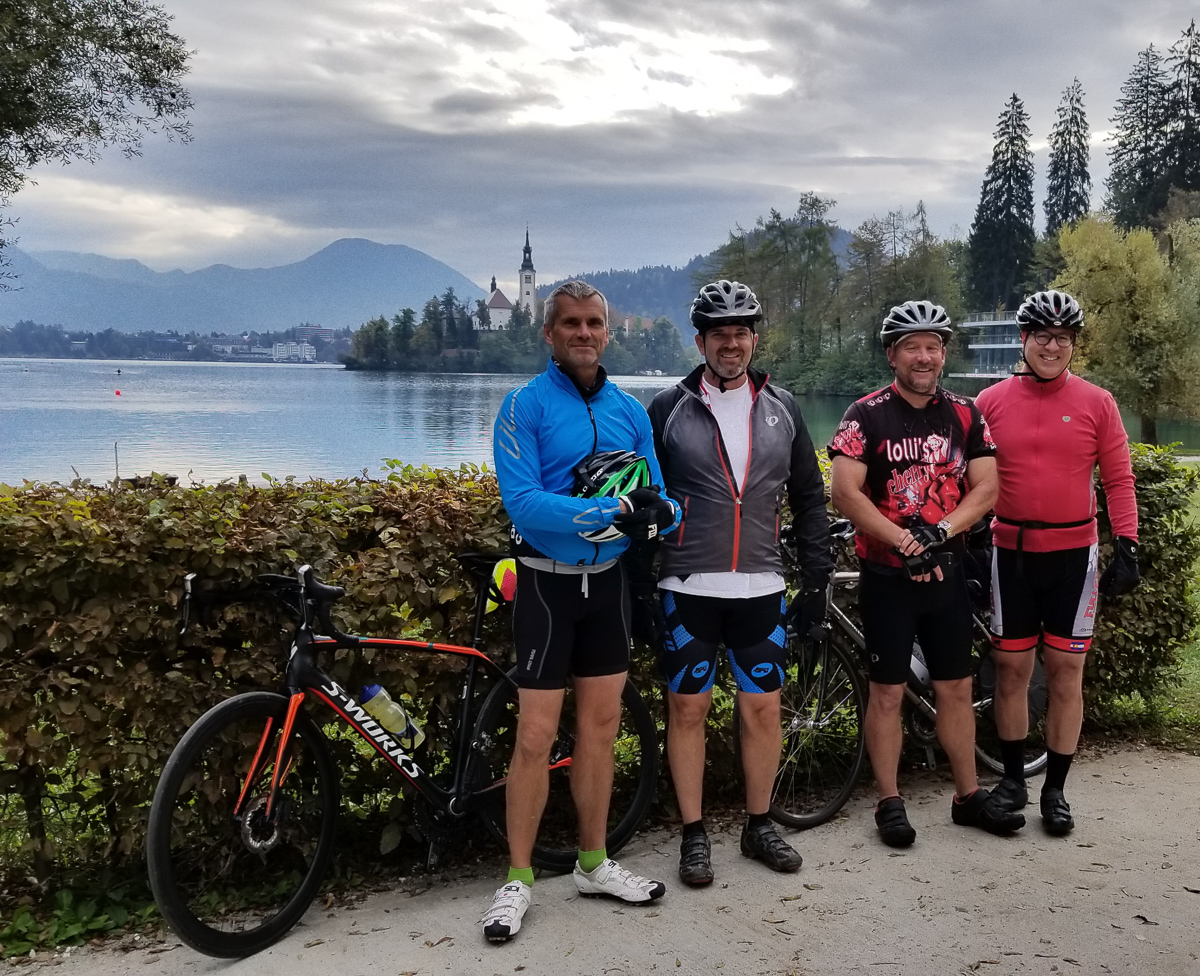
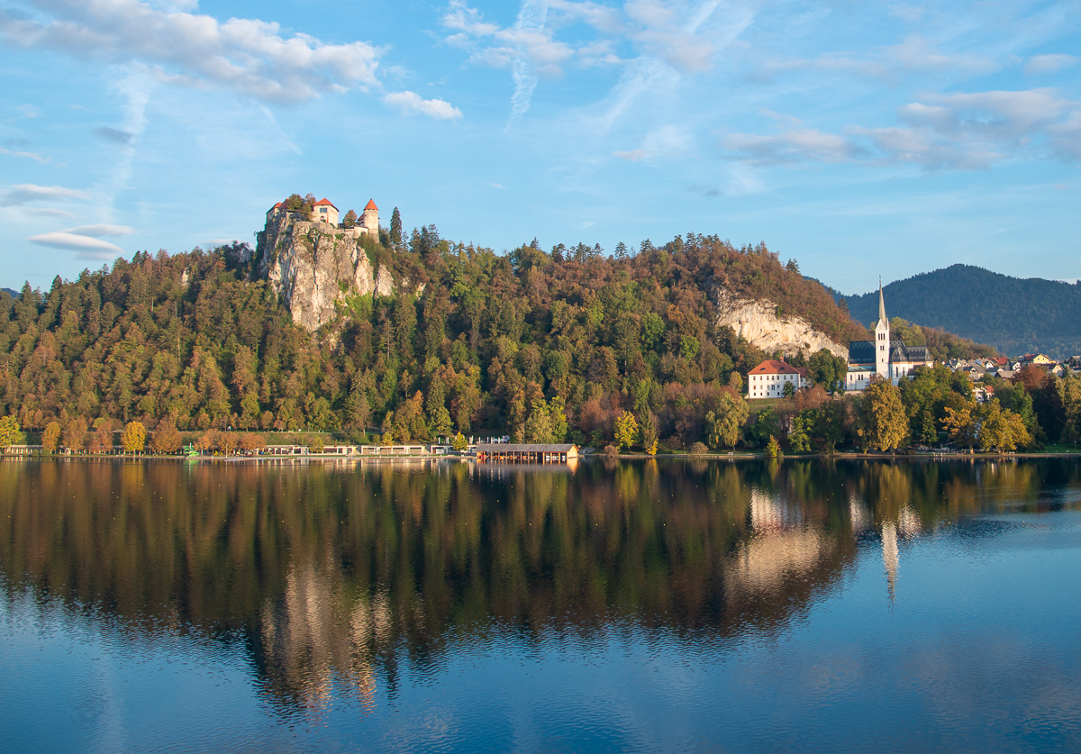
Lake Bled, Slovenia was a highlight of the trip.
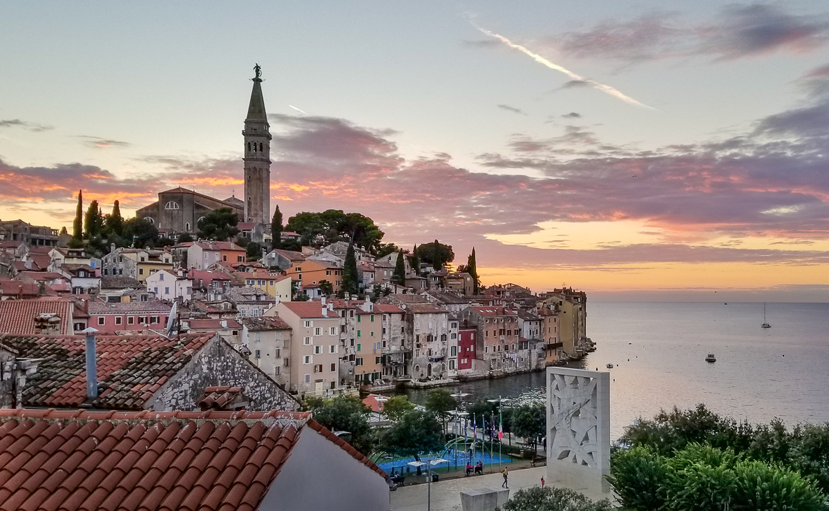
Sunset over the Adriatic Sea, from a hotel balcony in Rovinj, Croatia.
I always tended to think of Croatia and Slovenia as a lot more exotic and far away than European destinations like Italy or Austria or Greece. But it turns out that the foreign-sounding capital city of Ljubljana, Slovenia is just a couple of hours’ drive from either Venice, Italy or southern Austria. And the Croatian coast is just a hundred miles across the Adriatic from the east side of the “boot” of Italy. That geographic proximity gives a pretty good hint of what you’ll see when you’re sightseeing: pretty coastlines, tree-covered mountains, hillside vineyards, Mediterranean islands, and towns that are a couple of thousand years old.
Somehow the people of both countries (very similar to each other but with different languages) seemed familiar. Few would stand out in any American town, and I could imagine myself blending in almost entirely (lots of people with blue-green light eyes and Mediterranean skin). Though tourism is definitely getting more popular here, it’s new and small enough that the people are happy to see and welcome visitors.
I spent one week on a sailboat off the Croatian Coast near Split, and the next on a bicycle going in and out of Slovenia, Italy, and Croatia. Both were great trips with the good company of mostly new friends and my long-time colleague and law firm partner Grant Harvey. Grant and I worked together then retired from the same Houston law firm, and he rides bikes, flies airplanes, and enjoys travel photography, so we’ve always got lots to talk about. And we occasionally agree on something political! Occasionally.
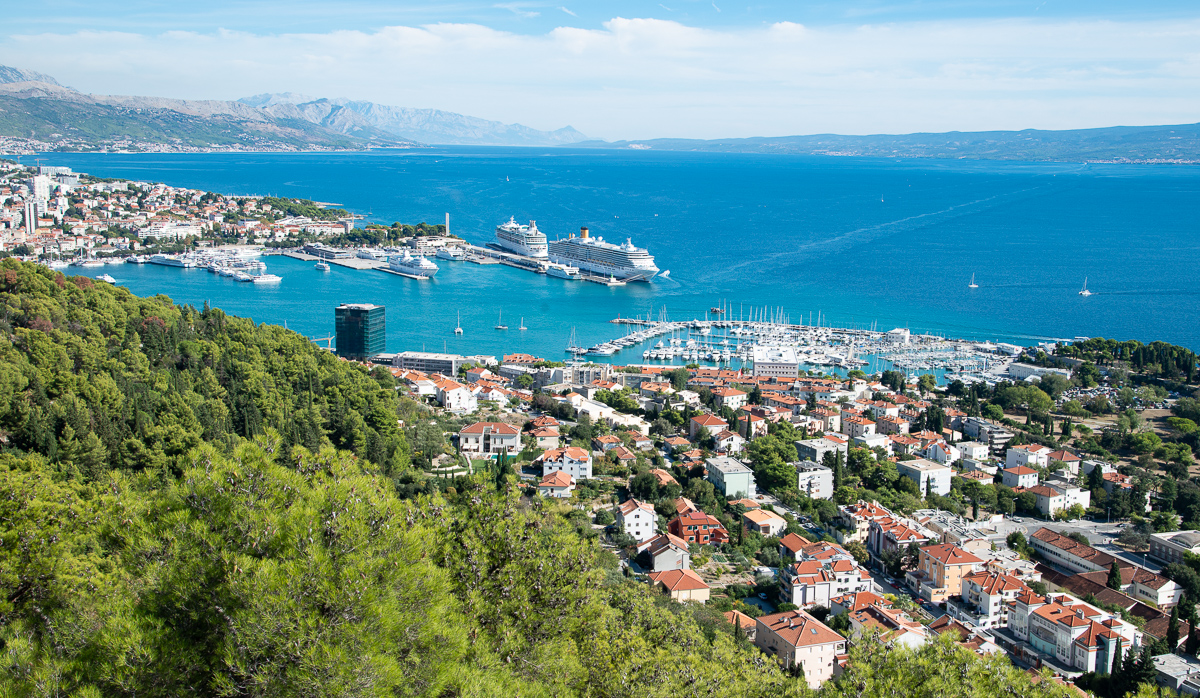
Split, Croatia, is a major cruise and boating port
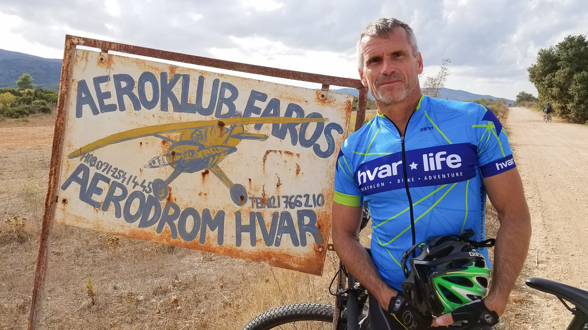
This was a little gravel landing strip on the island of Hvar, Croatia. (No, I did not fly there! and yes, I resisted the strong temptation to steal that sign.)
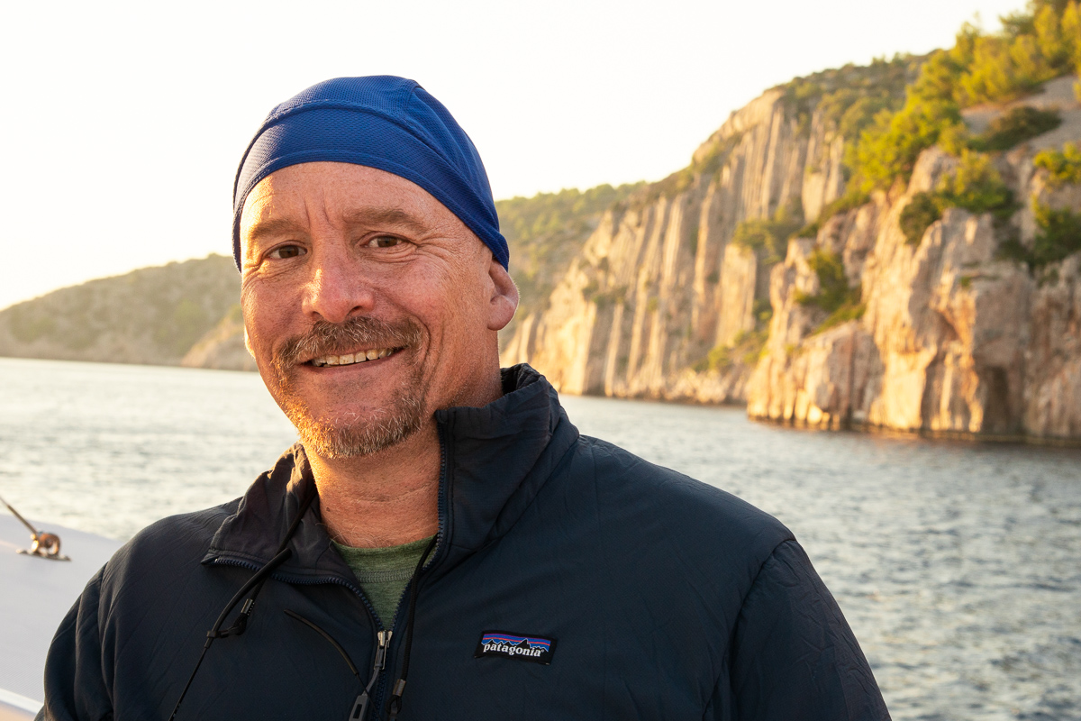
Grant Harvey, my very good friend for the last 25 years or so. Grant organized this trip, so I’m in his debt. This is him on our chartered sailboat, somewhere between Split and Hvar Croatia.
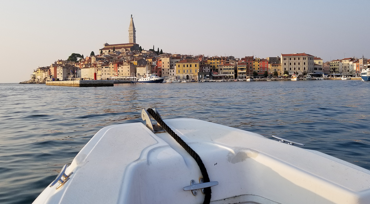
Rovinj, from the sea, on a ferry back from Pula.
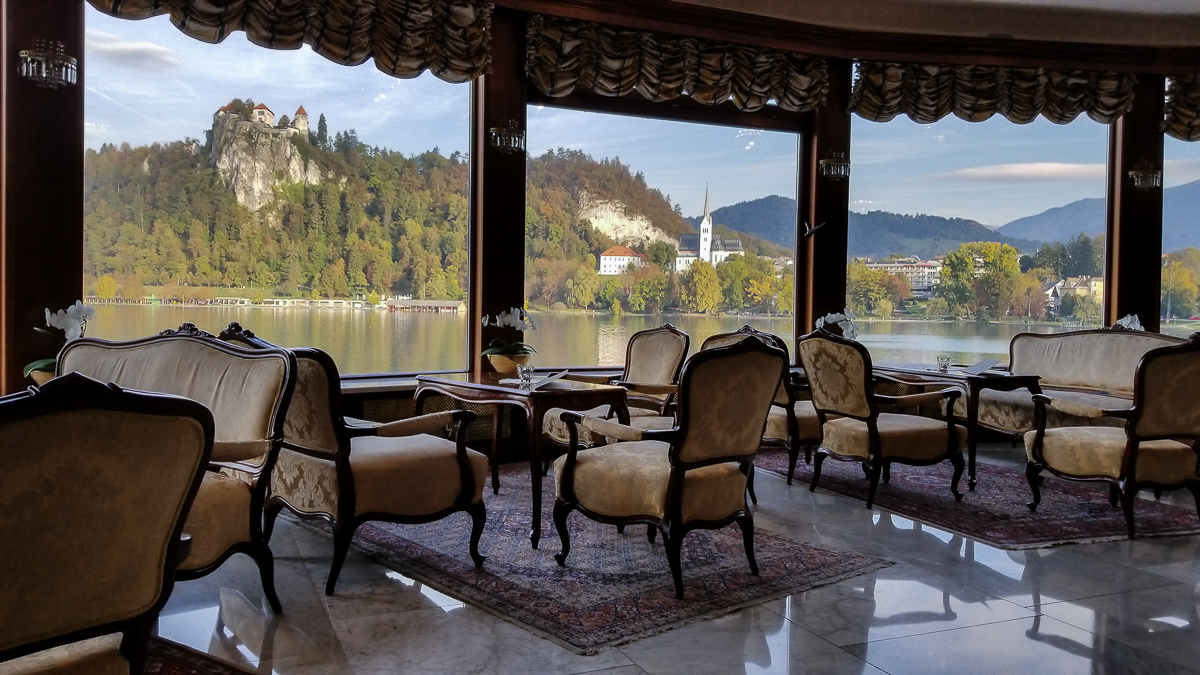
A quaint old lounge area at a hotel in Bled, Slovenia.
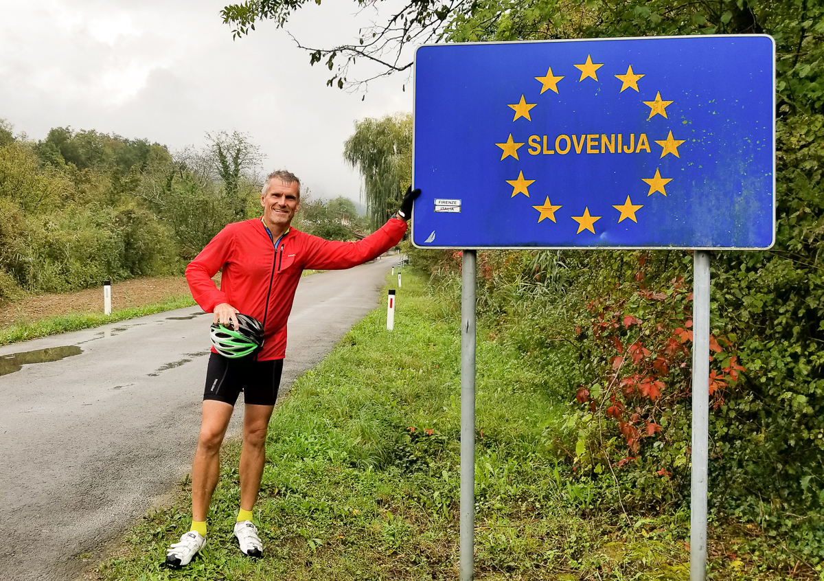
The biking went in and out of Slovenia, Italy, and Croatia. Croatia is a member of the EU, but somehow I still needed my passport even for a bike ride.
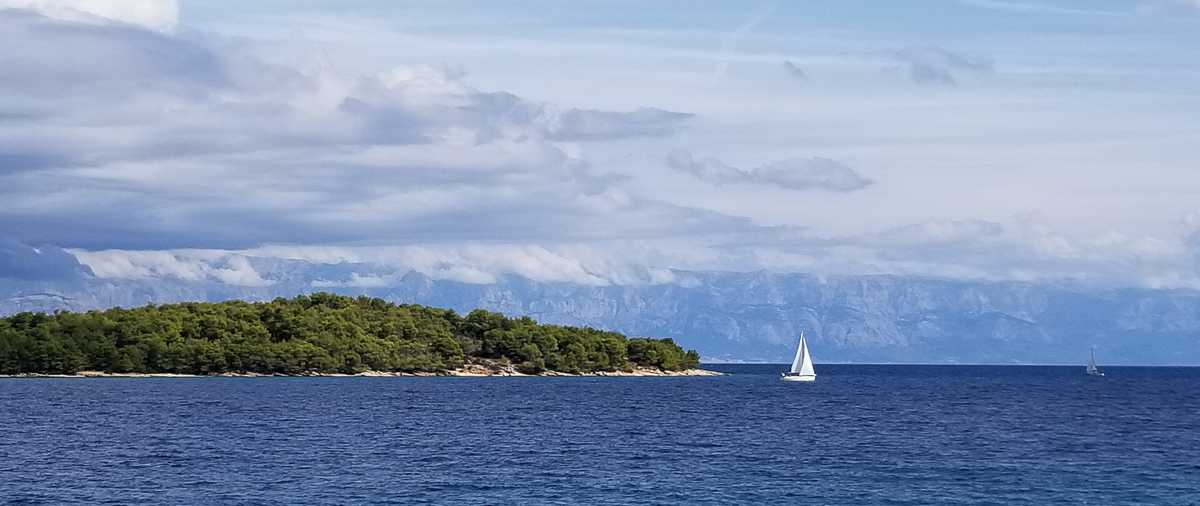
Sailboats off the Croatian Coast, near Split. Croatia is an extremely popular sailing destination. Even in the ‘off’ season when I was there, I could sometimes see 100s of other sailboats at sea.


The gallery here includes a shot of an old Russian submarine “garage” and hideout – a reminder of my Cold War youth and of times when we had a different view of this part of the world. That horse in the bad selfie with me is one of the Lipizzaner stallions at their home in Lipica, Slovenia. Almost all of them are white; the handful of black ones are genetic celebrities. The ancient Roman looking stuff is ancient Roman stuff: at the fourth-century “palace” of Roman emperor Diocletian, and (with me) the colosseum at Pula. That odd statue in the last image is a truffle, in the Istrian truffle region of Slovenia.