Category Archives: Latin America

Panama Canal

If you want to get a boat from the Pacific Ocean to the western Atlantic or Caribbean, you can brave the three-week trip around Cape Horn at the bottom of South America — or you can spend one sunny day in the Panama Canal. Big cargo ships pay $100,000 or more to get through; it cost me about 200 bucks.

J75_5273


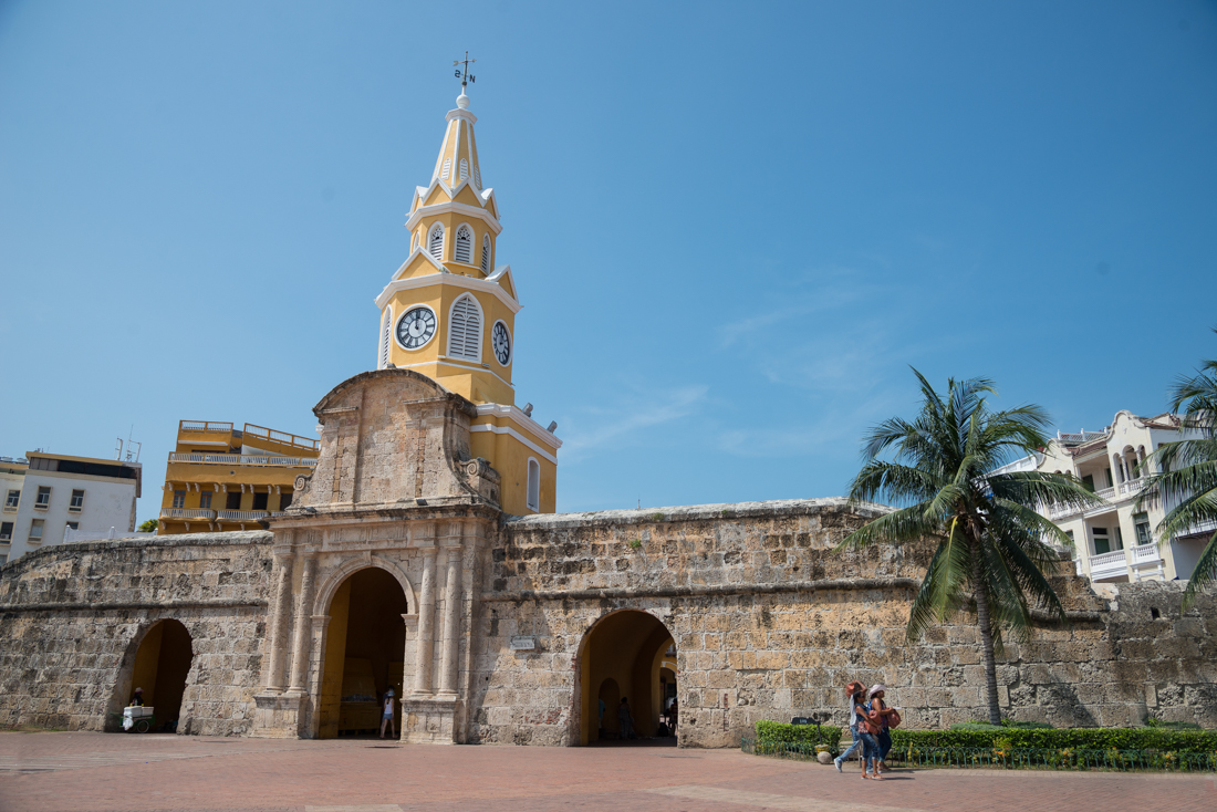
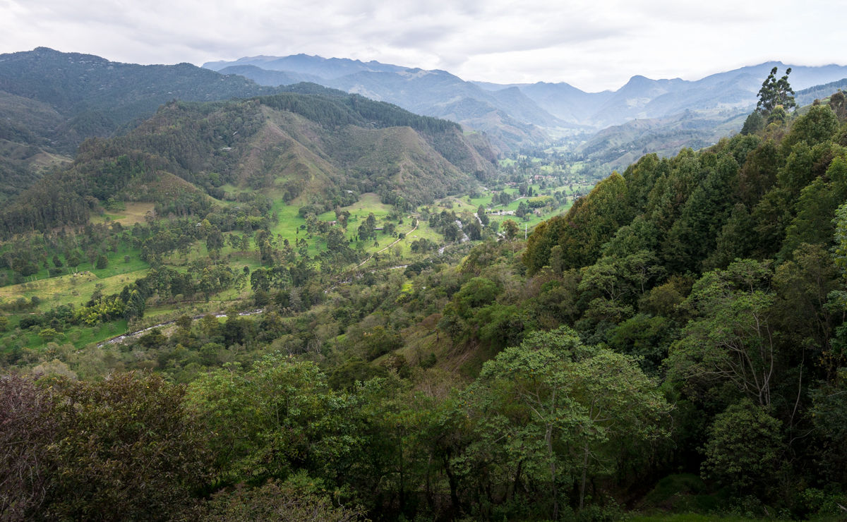
It’s easy to get turned around in Panama.   My Panama City hotel room window looked east onto the Pacific Ocean. A hundred miles due west of me was the Atlantic (Caribbean) coastline. The highway route to North America heads southwest out of the City, and the flight to the nearest major South American airport heads northeast to Cartagena, Colombia. If you travel the Panama Canal from Pacific to Atlantic (as I did), you go mostly north-northwest.


The history and identity of the region arises mostly from that tiny distance – as little as 40 miles — between its two coasts. Spanish control dates from the 1513 crossing by Spaniard Vasco Balboa, who became the first European to see the Pacific coast in the New World. In the early 1800s, the “Isthmus Department” was a part of Gran Colombia after Simon Bolivar led their collective split from Spain. By the turn of the 20th Century, Colombia was in civil war. Panama was able to declare its independence thanks to an agreement with the United States, which effectively created both the Panama Canal and Panama itself. The U.S. committed to provide military assistance and protection for an independent Panama, and Panama gave the U.S. the right to build and control the Canal – all “in perpetuity.”


J75_5552

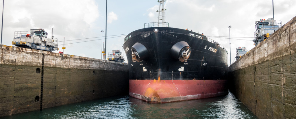
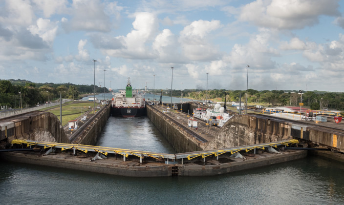
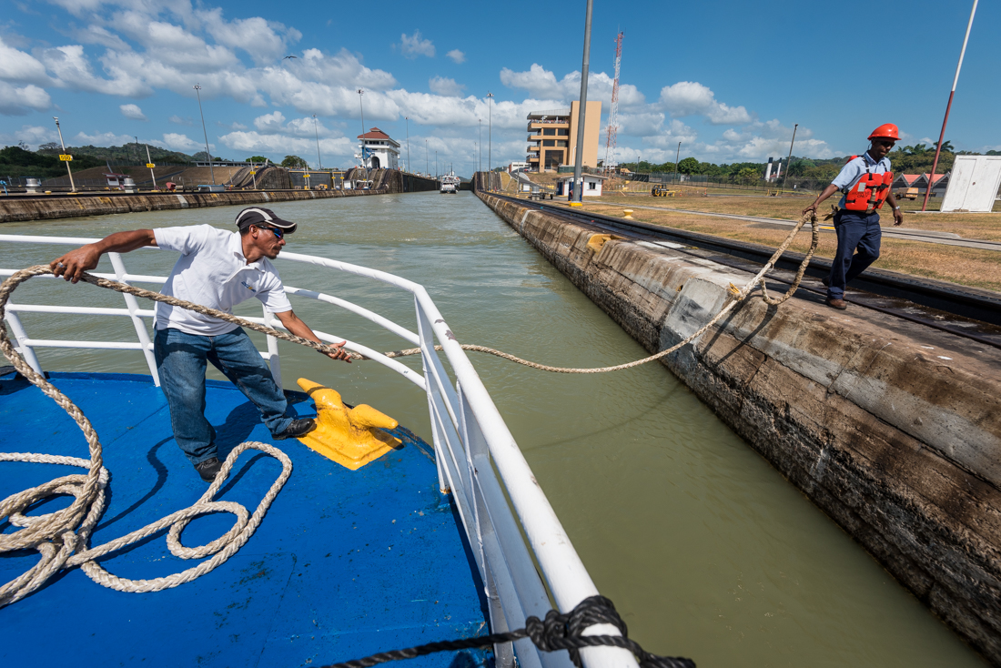
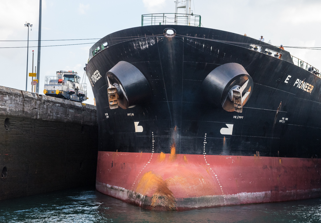
Big ships like this have only a foot or two of clearance on each side of the locks. Those train-like “mules” on the side walls pull and guide the ships through.


A French group had attempted a canal before, in the late 1800s. Their plan was a sea-level passage – a simpler design that wouldn’t need locks but which failed because it required way too much digging. Twenty-thousand people died in the French construction attempt.


J75_5578
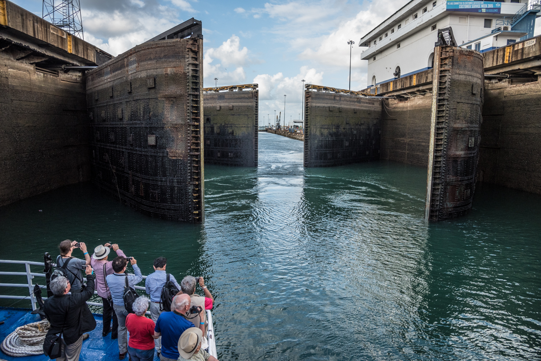
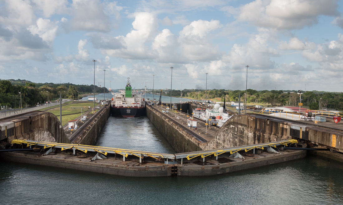
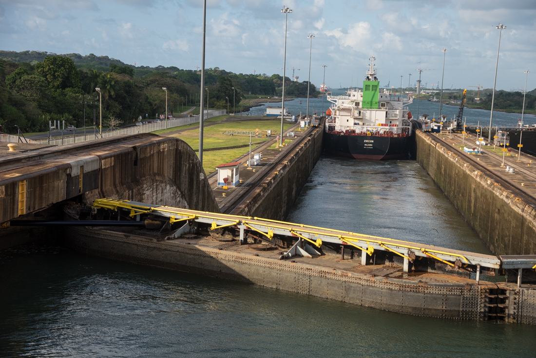
The U.S.-built canal has six pairs of locks – three up and three down — that raise boats to an elevation of 85 feet for most of the passage then lower them to the opposite ocean. The physics are driven by the good fortune of a major river (fed by seasonal tropical rainfall) in the middle of the isthmus. It’s dammed to make a huge lake, and water flows out in both directions – into both the Pacific and Atlantic – filling the locks along the way. The locks are in pairs to allow two-way traffic.

U.S. control of the Canal Zone lasted 65 years, from its completion in 1914 until 1979, when Jimmy Carter gave it (and the adjacent U.S. military bases) to Panama. From America’s perspective, the controversial (curious?) politics of that decision looked worse in hindsight: within a few years, Panama was a military dictatorship with drug-trafficking General Manuel Noriega running the country. By 1989, the U.S. had to send troops to oust Noriega, stabilize the country, and preserve the availability and integrity of the Canal.


J75_4926.jpgJ75_4964.jpgJ75_5273.jpgJ75_5309.jpgJ75_5335.jpgJ75_5352.jpgJ75_5428.jpgJ75_5552.jpgJ75_5562.jpgJ75_5578.jpgJ75_5599.jpgJ75_5621.jpgJ75_5720.jpg


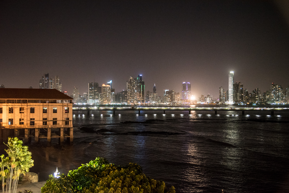
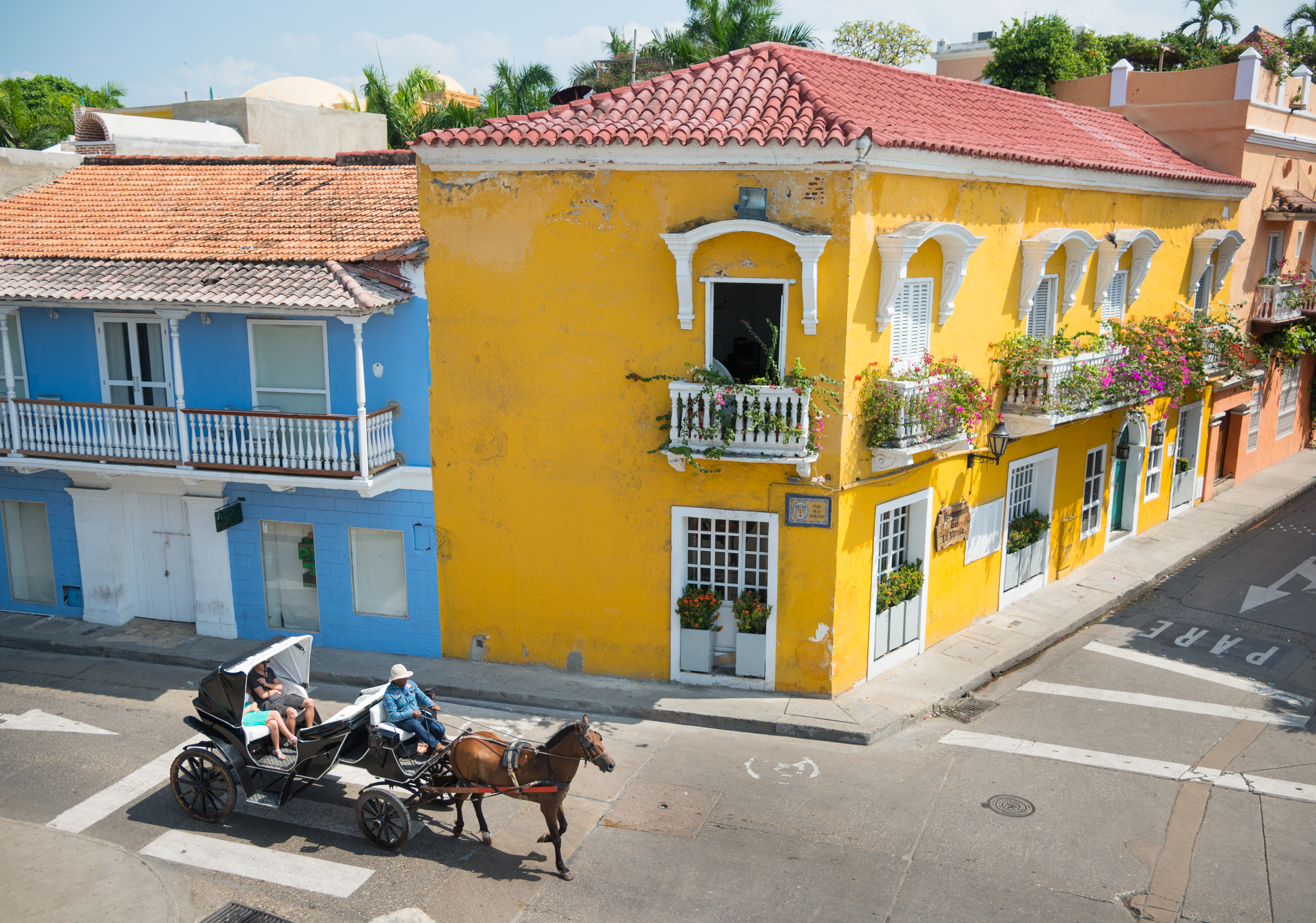
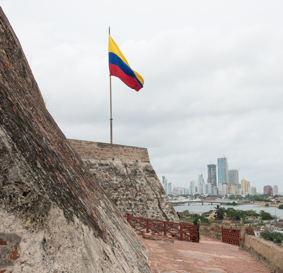
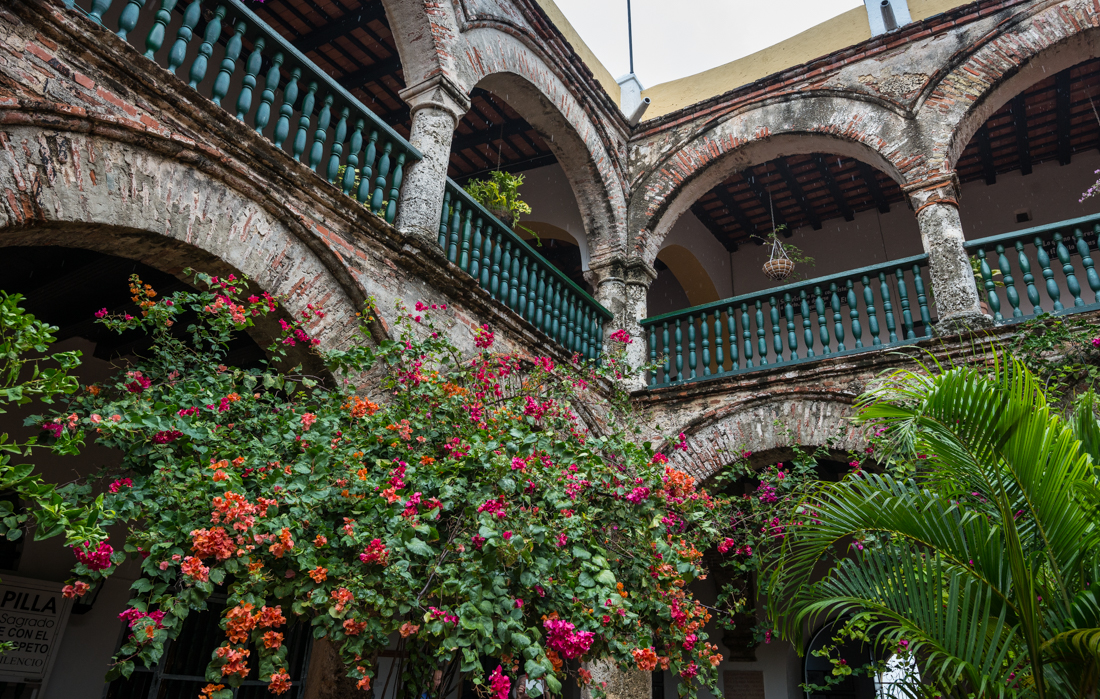
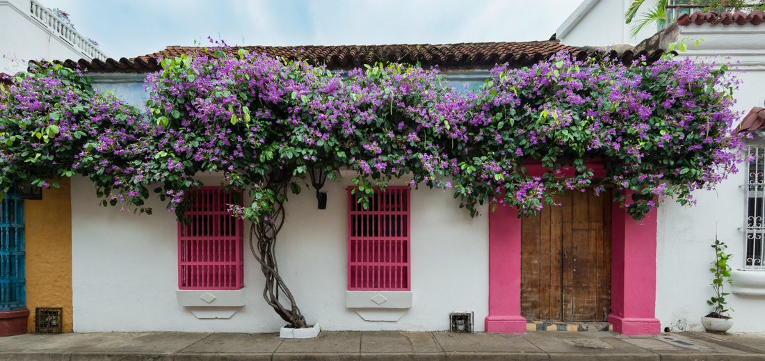
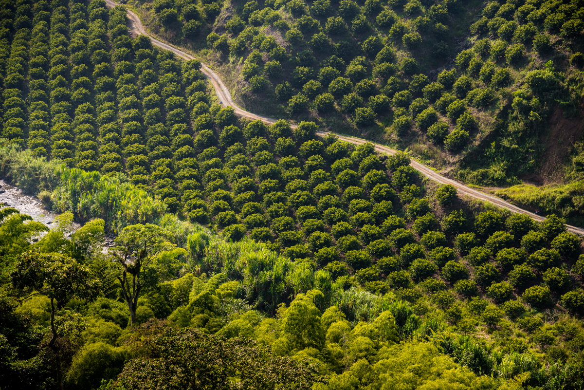
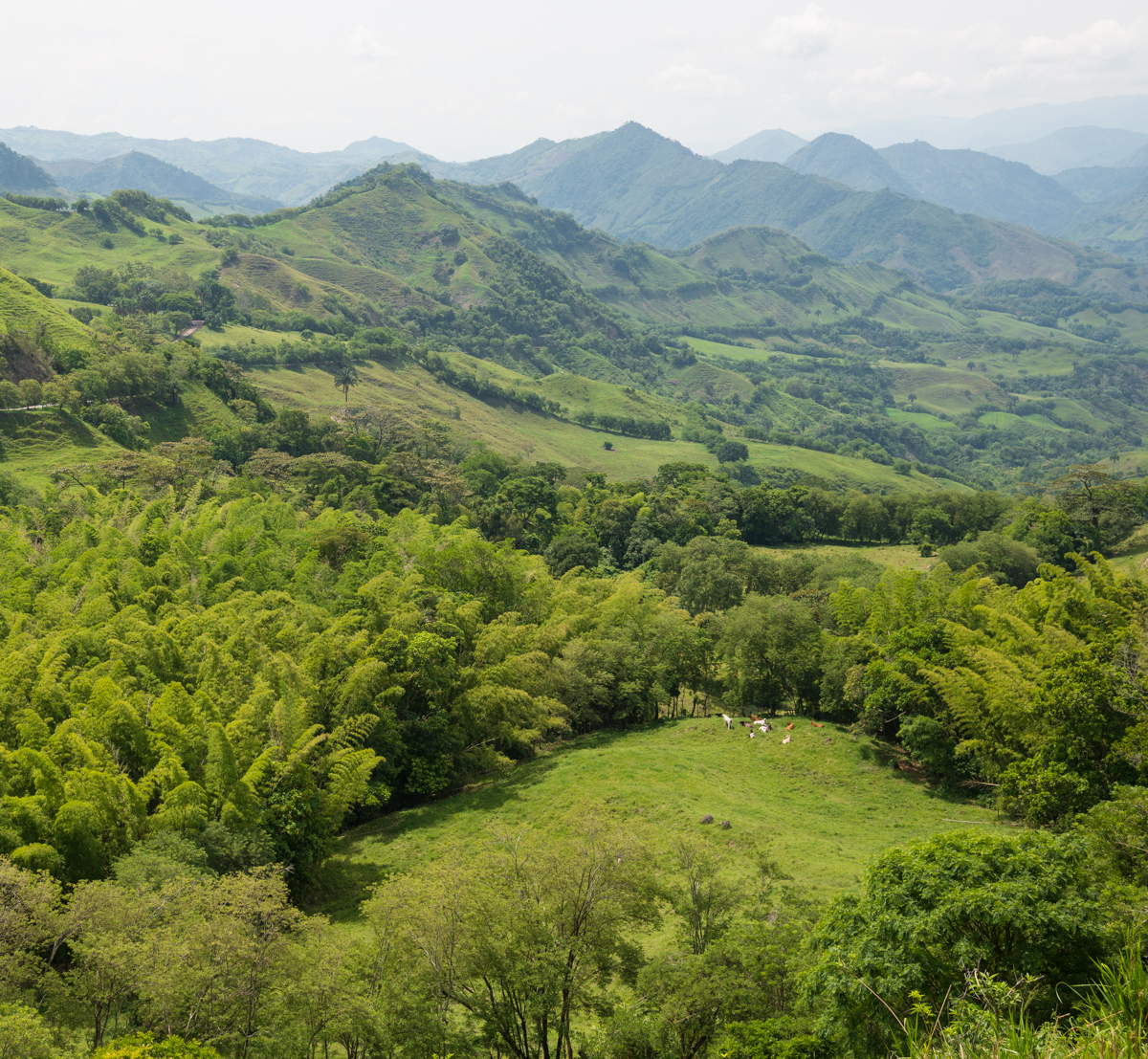
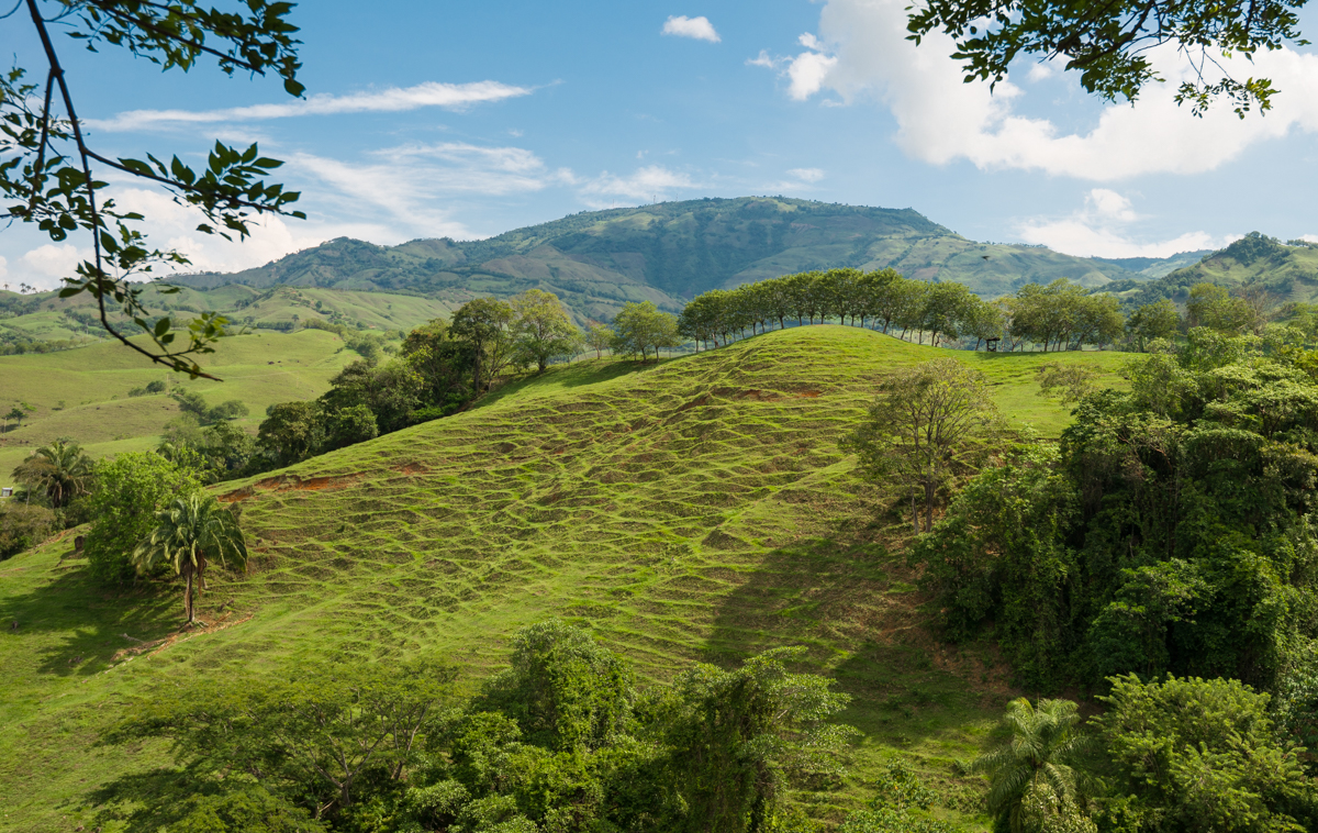
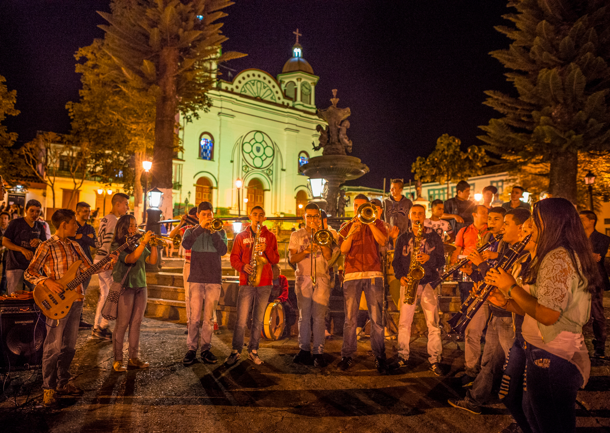
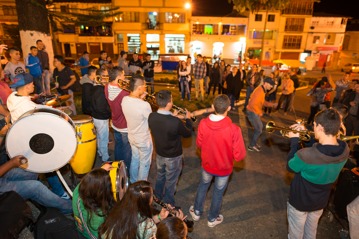
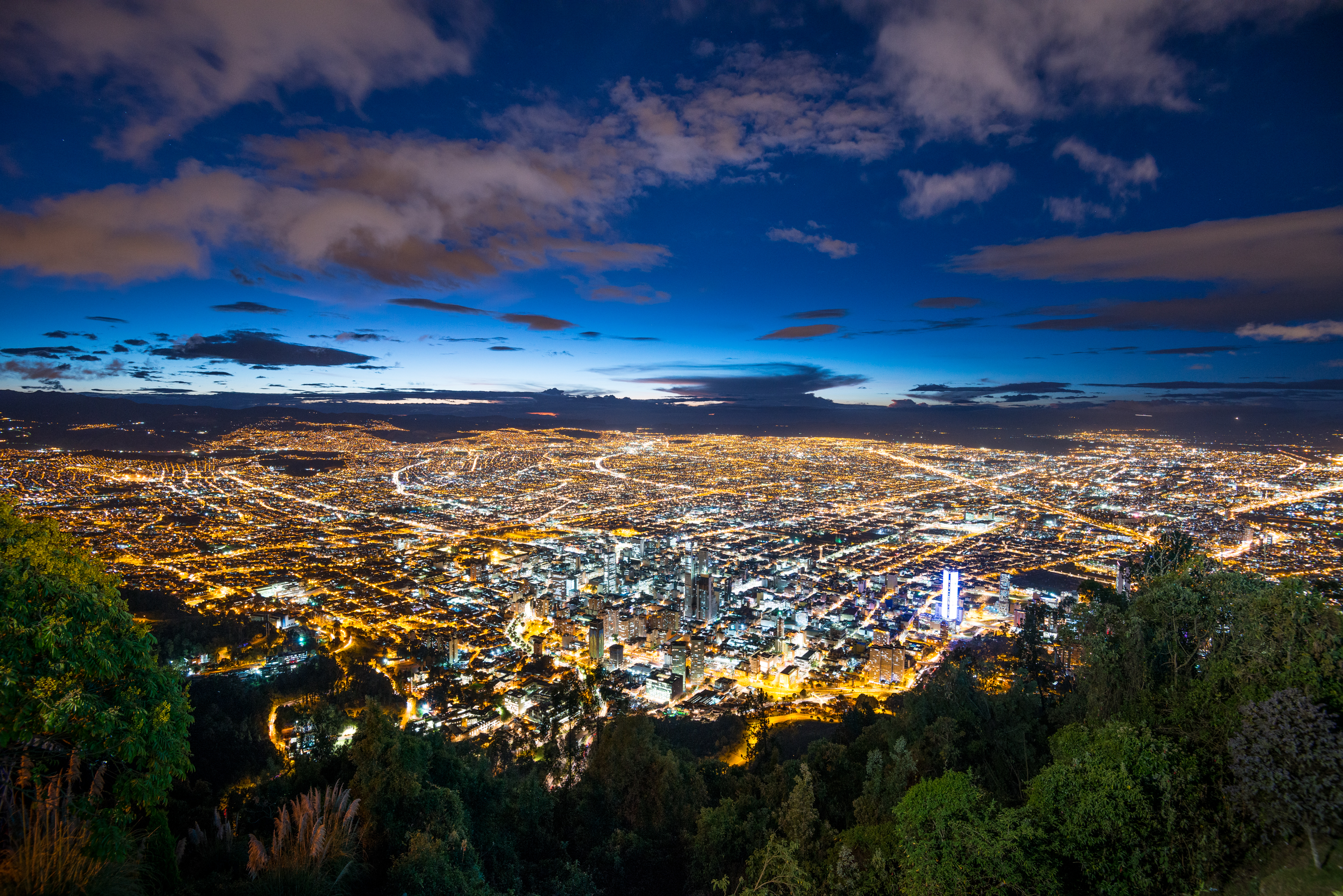
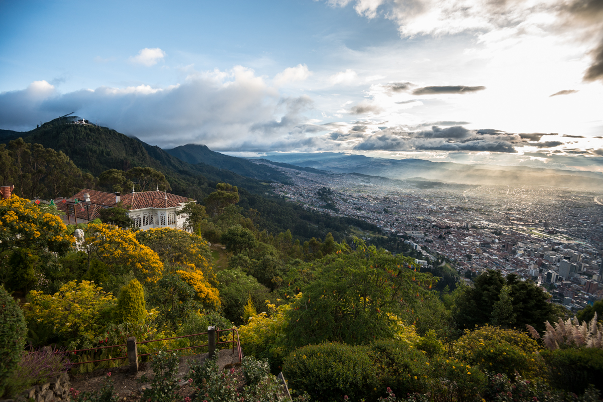
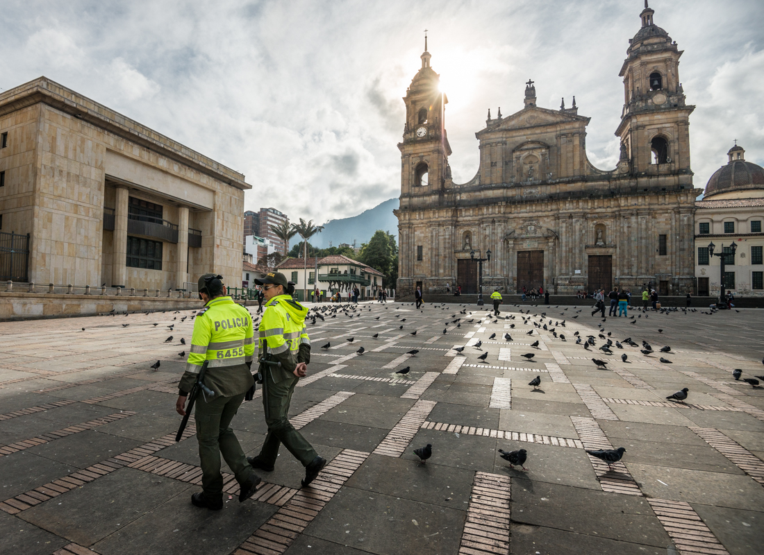
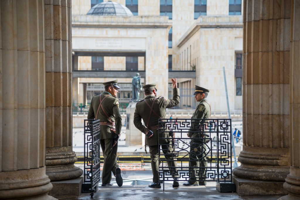
Today, Panama seems to be doing well, thanks in no small part to the revenues of the canal. As our boat guide said, if you come to Panama expecting a third-world country, you’ve come to the wrong place. The skyline of downtown Panama City looks like Miami Beach. Donald Trump has a big hotel and casino here. The main highways are in great shape, and I jogged one of the most impressive running paths (a two-mile bridge looping around Casco Antiguo) I’ve ever seen. This was not one of my off-the-beaten-path adventures.

J75_5428


The Canal – aging though it is – is still considered one of the Seven Wonders of the Modern World.  Its hundred-year-old gates swing dozens of times a day to connect the world’s two largest oceans.   A new, larger set of locks is under construction for the canal, but the effort seems to be half-complete and floundering in delays.


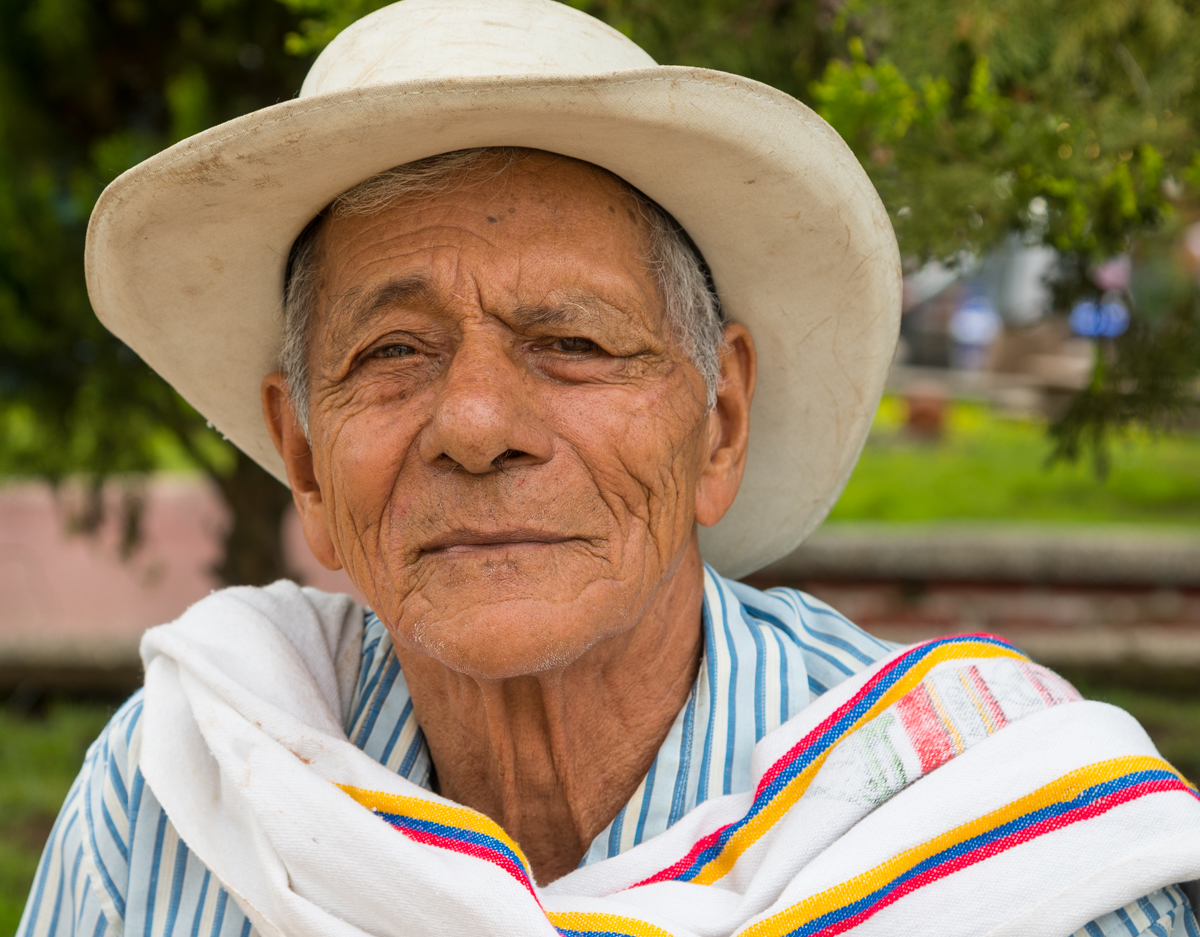
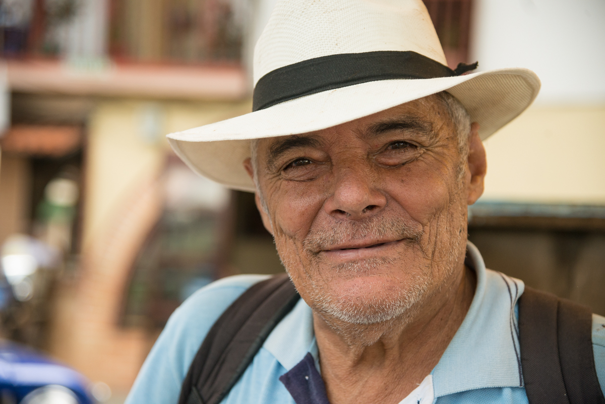
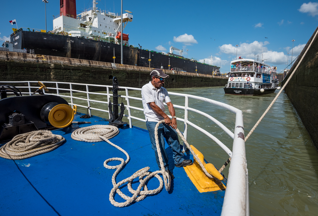
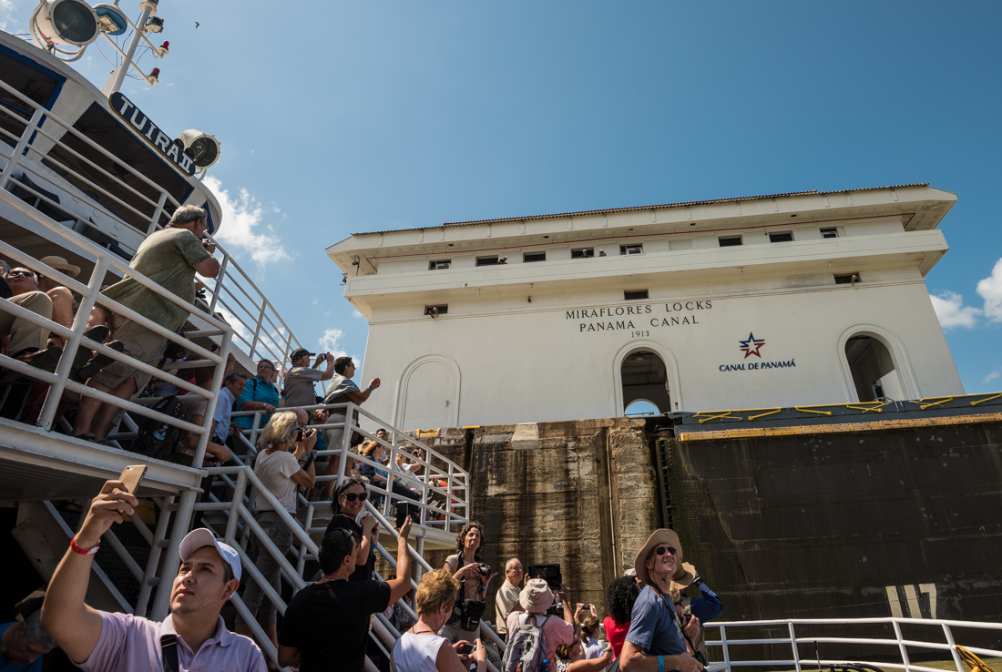
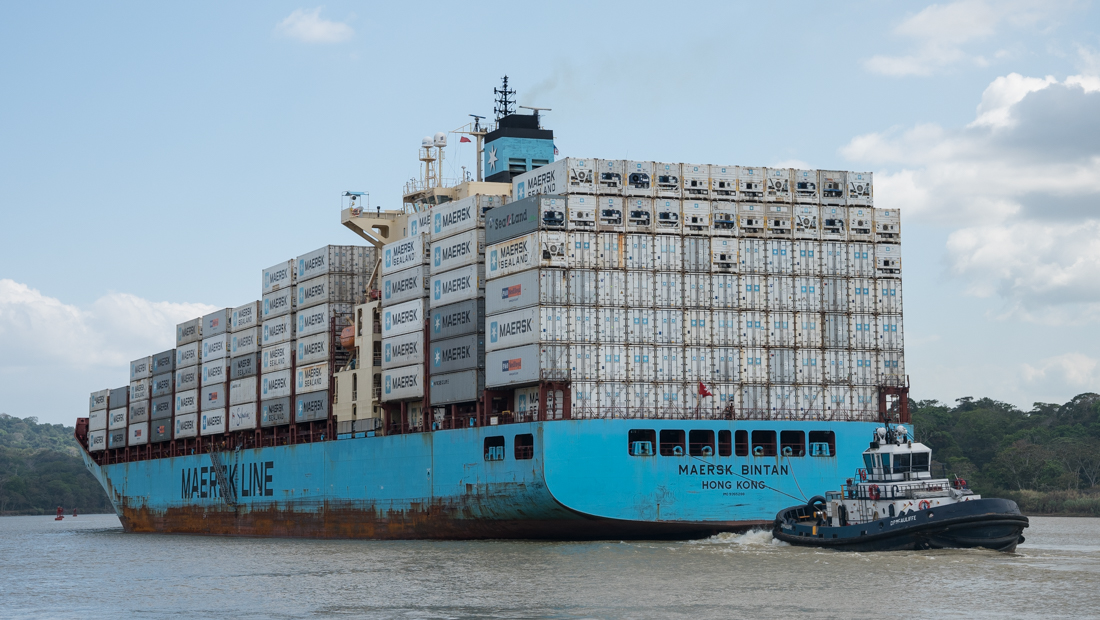
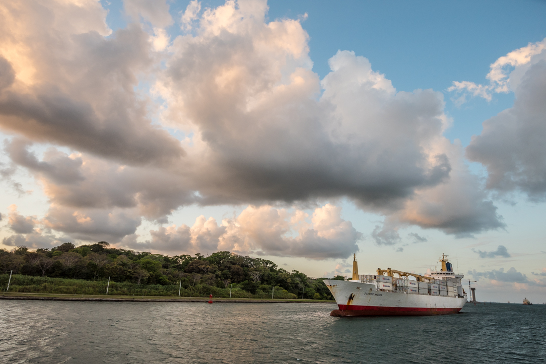
My own coast-to-coast passage was a bit on the touristy side – narrated in three languages, with lots of selfies, bad food, and Panama hats. We saw towering ships loom above us – some with 3,000+ cars inside, others carrying nearly 1,000 semi-truck-sized containers each, still others full of LPG and grain. The trip was long and slow: we shoved off early into Pacific saltwater and docked after sunset in a Caribbean harbor. I wouldn’t have missed it, but was glad I brought a book (and a hat, and sunscreen, and snacks).

J75_5599

Cartagena: Caribbean, Colonial Colombia

The movie “Romancing the Stone” was set in and around Cartagena, Colombia. Viewers were introduced to a tropical country full of emeralds and bad guys. Another lasting impression: Michael Douglas taught America to mispronounce “Cartagena” – putting a “NYuh” sound as the last syllable rather than the simple (correct) “Nuh.”

_5JC4325

Old Town, “Centro,” in Cartagena Columbia.


_5JC5076Cartagena is on Colombia’s northern coast, in the southwest corner of the Caribbean Sea.  Much like Havana (Cuba), San Juan (Puerto Rico), and St. Augustine (Florida), the walled colonial city, guarded by seaside forts, was built by the Spaniards to anchor and protect their trading and shipping empire in the 1500s to 1700s. In that era, Spain controlled much of what is now northwestern South America – modern-day Venezuela, Peru, Colombia and Ecuador where they still speak Spanish even today.  But the eastern part of South America – the part most directly accessible from Europe – was controlled by the Portuguese (Brazil) and by the French, Dutch, and Brits (the Guyanas). So Spain’s primary access to its South American empire was from the north, through the Caribbean port at Cartagena.


Nowadays, Cartagena is probably the most “visitable” city in Colombia. Cruise ships stop here, there are dozens of nice hotels and upscale restaurants, and old town Cartagena’ colonial architecture and Spanish fortifications are great for sightseeing.

_JCE4889.jpg_5JC4417.jpg_JCE4911.jpg_5JC4964.jpg_5JC4351.jpg_5JC4360.jpg_5JC4363.jpg_5JC4952.jpg_5JC4992.jpg_5JC4997.jpg_5JC5124.jpg_5JC5179.jpg_5JC4375.jpg_5JC5141.jpg

_5JC5163-Pano


_5JC4461

One of the many stunning murals on alley walls in Getsemani, Cartagena, Colombia.

_5JC4463The amazing wall murals (and the crazy night-time crowd scenes) are in a neighborhood called Getsemani (“HET-seh-MAH-nee”). Named for the biblical garden (“Gethsemane”) – it was, until recently, a rough place, full of some conspicuously un-holy activities. But like much of Colombia, it’s been cleaned up (literally and figuratively) dramatically in the last decade.

_5JC4434

A festive tradition: throwing corn meal on people. It took some negotiation to get a few pictures without them dousing me (and my camera).

It was Cartagena Independence Day weekend, and as we wandered around a church square in Getsemani one day, a guy named Ramone told us there’d be a “fiesta” there that night, with dancing.  I naively envisioned choreographed and costumed Carnival-like holiday spectacle. That night we found a few thousand people crowded around tiny Plaza Santisima Trinidad; their primary activities were recklessly throwing firecrackers into the crowd, and squirting each other with giant shaving-cream cans rigged to spray 20 feet or so. With minor exception, it was all friendly and fun. My camera only got soaked once; it wiped right off.


_5JC4807

Celebrating Cartegena Independence weekend in Plaza Santisima Trinidad in Getsemani. Not surprisingly, I was unable to keep my camera dry.


_5JC4431

By taking these guys’ picture (and joining them in one shot of their rum), I was able to avoid having corn meal rubbed on my head (like they were doing to each other).

* * * *

Since I had a camera-toting buddy on this trip, I get to include a couple of pictures OF me.  Thanks (and photo credit) to Grant Harvey – a long-time friend, one of my G&B law partners, and now a fellow photographer!  That’s Grant in the hat (and yes, he enjoyed the humor of a hat that screamed “tourista”!


Cross-Country Colombia: Coffee Farmers, Mountains & Medellin

As usual for me, the further I got from the main cities and main highways, the more interesting my visit to Colombia became.

_5JC3783

Colombian coffee-country landscapes were planted in meticulously organized patterns.

_5JC3763

_5JC3861.jpg_5JC3632-Edit.jpg_5JC3669-Edit.jpg_5JC3754.jpg_5JC3763.jpg_5JC3783.jpg_JCE4804.jpg_5JC3837.jpg_5JC3624.jpg_JCE4774.jpg_5JC3980.jpg_5JC4174.jpg_5JC4183.jpg_JCE4831.jpg


_5JC3918

One of several older gentleman farmers hanging around the town square of the hilltop town of La Merced, Colombia.

_5JC3983-c64.jpg_5JC3962.jpg_5JC3932.jpg_5JC3918.jpg_5JC3969.jpg_5JC3943.jpg

* * *

My Hertz reservation for a small pickup truck got fouled up, leaving my friend Grant and me driving a late-model VW Jetta through the mountains in the heart of Colombia.  It’s impossible not to look conspicuously out of place in rural Colombia in a late-model Jetta.  Hertz’s punishment was that their Jetta endured long stretches of dirt-and-gravel mountain roads of the Colombian Andes.  Much of our trip was in the heart of Colombia’s “coffee country.” Most of the patterned agricultural landscape you see in the pictures is coffee.   Despite the mostly hazy and cloudy weather (and my dislike of coffee), the landscapes were striking.

In the hilltop town of El Merced, the town square was full of old guys – mostly just hanging out. It took a fair amount of bi-lingual cajoling to get some of them to let me make a few pictures. The guy with the scarred face was also toting a machete strapped to his hip – which gave me some insight on how his smile may have become so crooked. (They carry machetes as agricultural tools; not as sidearms). I wished for a photograph with that big knife in the picture, but I was barely able to get him to let me photograph him at all.  One of the guys recommended “Asadero La Fonda” as the best restaurant in town for us to have lunch (see picture in the grid); we had lots of meals at places that looked like that.

When you get away from the cities and tourist areas, prices in Colombia can be disconcertingly low. Two meat-and-cheese breakfast pastries, two doughnuts, a cup of (Colombian!) coffee, two Diet Cokes, and a couple of big cookies for the road? COL $8,000 – less than $3 U.S.  At Hotel Colonial in Aguadas, I paid extra for a bigger room with three balcony-windows overlooking the town square (and with a couch, table and chairs, big bathroom, wifi, refrigerator, breakfast included). It was US $20; my buddy’s room (without the ‘view’) was US $8.  (The last image in the grid below is the view from my room).  One regular quandary: What kind of tip do you leave when you get great service and a fine lunch for less than two bucks?

The biggish city of Medellin was the end of our car trip (we flew from there to Cartagena). The plump-looking (and probably familiar-seeming?) statues are by a famous Colombian artist, Botero.

Next stop:  Cartegena.

* * *

_JCE4804

Near Manizales, Colombia


_5JC4067

Late Friday night in the town square in in the isolated mountain town of Aguadas, Colombia. Their director was perhaps the best (and surely the most entertaining) clarinet player I’ve ever heard.


Images from Salento, Aguadas, and Medellin:

_5JC3534.jpg_5JC3555.jpg_5JC4021.jpg_5JC4059.jpg_5JC4067.jpg_5JC4151.jpg_5JC4196.jpg_5JC4239.jpg_5JC4249.jpg_5JC4287.jpg_5JC4306.jpg_JCE4847.jpg


_5JC4249

One of several Botero statues in Medellin, Colombia’s downtown Botero Square. Medellin is Botero’s home town.

_5JC3861

Morning near Aguadas, Colombia.

Overlooking Bogota

_JCE4726

Bogota, Colombia,  just after (above) and just before (below) sunset – from Monserrate, a 10,000 ft mountain just east of downtown.

I spent just 36 hours or so in Bogota before heading west through the Andes. It’s Colombia’s biggest and capital city — with a metro population bigger than Chicago and an elevation higher than Aspen. Bogota has plenty to offer. If you go, plan to stay longer than I did.

_JCE4309

A “protester” (sort of) on Plaza Bolivar (between the Capital and the Supreme Court) in Bogota. Her sign says (I think) “There’s nothing left to say.” Every minute or so she’d just scream “Aaaaaaahhh!” as loud as she could. The capitol police kept a close eye on her and other protesters, but generally let them do their thing.  A statue in the image is Simon Bolivar.


In the grid above are views from Monserrate, around Plaza Bolivar and the Catedral Nacional, inside Museo de Oro (Gold); and outside the presidential Palacio Narino.


_JCE4285

The central courtyard of Bogota’s Capitolio. The guards were nice enough to let me past the first layer of security to get a few pictures.

The central government square in Bogota is “Plaza Bolivar” — named for 19th Century Latin American hero, Simon Bolivar. He’s credited with liberating from Spain the region of “New Granada” — now Venezuela, Colombia, Peru, Ecuador and Bolivia.  Maybe obvious: “Bolivia” was named after him. Depending on who you believe and how you look at it, it may be a little unclear whether he was benevolently liberating, or if he was attempting his own Napoleon-style conquest. In any case, history has been kind to Bolivar: seemingly every town or city we visited had its own Plaza Bolivar and its own big statue of “El Libertador” himself. (Americans may overlook him, but there are actually prominent Bolivar statues in downtown Paris, in Washington DC, and in New York’s Central Park.) If you see a statue in Colombia and wonder who it is, you can probably win a bet by guessing Bolivar.

A few of the other Plazas (and “estatuas”) Bolivar we encountered, in Salento, Medellin, and Cartegena:

Colombia 2015: Libertad y Orden

Let’s start with the first thing that comes to every American’s mind when you mention the South American nation of Colombia.

_JCE4266-2

In the shadow of Colombia’s Catedral Primada, two Policia Nacional patrol Plaza de Bolivar, between the Colombian Congress and Supreme Court buildings in Bogota.

When I told people I was planning to spend a week or two driving around Colombia, virtually everyone expressed concern about my safety (and sanity). A beautiful tropical country, bisected by the northern Andes and boasting both Caribbean and Pacific coastlines, Colombia seems to be better known for drug cartels, guerilla warfare, and kidnappings. Colombia’s bad reputation was well deserved in the 1990s, but a “Colombian Miracle” has transformed it into a great destination – even if you don’t drink coffee.

Fifteen years ago, Colombia was embroiled in a four-way civil war: the players included communist guerilla groups like the “FARC;” right-wing paramilitary groups that sprung up to oppose the guerillas but took on a terrorist-like life of their own; powerful regional drug cartels (especially Cali and Medellin); and the struggling and outnumbered Colombian military itself. Drug trafficking and violence were the norm. Guerilla and paramilitary groups financed themselves with drugs and kidnapping, while the drug cartels amassed military-like troops and weapons to protect their turf. Colombia was the world’s biggest supplier of cocaine, and huge sections of the country’s roads and territory were out of the government’s control. Millions of Colombians were displaced from their homes. In 1999, the situation was so bad the Colombian government formally ceded vast territories to one of the guerilla groups.

_JCE4865

National Police on a motorcycle, zipping down a side street in Cartegena, Colombia.

But Colombia is in the midst of what some have called the Colombia Miracle, and what almost anyone would call an amazing turnaround. Starting in 1999 and accelerating with the 2002 election of a new get-tough president (Uribe), the Colombian government expanded its police and military forces. The U.S.A. provided money, personnel, weapons, and intelligence assistance. Colombia targeted the drug trade and the guerilla and paramilitary forces, assassinated and captured key leaders, and even had successful “peace talks” with some guerilla and paramilitary groups.

It’s working. The drug cartels have mostly fractured or disappeared. Most of the paramilitary groups have disbanded and disarmed, and the communist guerilla groups are greatly diminished and confined to areas near the Ecuador and Venezuelan borders. Even the guerilla FARC has very recently (just this month) reached a peace agreement with Colombia and claimed that it will stop military training and focus on peaceful means. Drug production is down significantly. In the cities, the police are everywhere and are highly visible (literally so, often in fluorescent yellow-green uniforms), and much of life is back to normal.

_5JC4402

Riot police in Cartegena, Colombia. With these guys around, the risk of an actual riot seemed very low.

Meanwhile – and not coincidentally – the Colombian economy has boomed. Poverty and unemployment levels have plunged; GDP and incomes have soared. Colombia’s highways – though often small and very curvy through the mountains – are in amazingly good shape, thanks to a massive road-construction effort. A mixed blessing of that booming economy is that they’re packed with cargo trucks.

There may be lots of lessons – pro and con – in the Colombia story. The successful strategy had great emphasis on obtaining military and police control, modest efforts at negotiation, and little focus on direct assistance to the 6 million displaced refugee-like Colombians. But the plunge in poverty rates and violence, and rise in incomes may have helped more than direct assistance ever could. The government is reported to have used – unapologetically – some tactics that might make many Americans squeamish (though none worse than their foes were regularly employing). The United States’ financial and military involvement in Colombia’s recovery has been perhaps our most extensive and most successful nation-building exercise in recent history. It’s worth noting, though, that the still-problematic leftist FARC organization was in some ways Colombia’s version of Cuba’s Castro regime (with whom the U.S. is now thawing relations). It’s a complicated world.

The U.S. State Department still has an ominous-sounding travel advisory about Columbia, and did not seem to sanction my chosen itinerary.  But I had a great trip through Colombia – even taking a rental car (with a fellow American buddy) through long sections of remote countryside (from Bogota to Pereira to Medellin and on some tiny side roads through the mountains) that were dangerous FARC and cartel territory not very long ago.  The national tourism board uses a clever slogan that gives a nod to Colombia’s awkward history: “The only risk is wanting to stay.”

_5JC3245

“Libertad y Orden” on the Colombia Coat of Arms. That’s an Andean condor (not an eagle) up on top.

“Libertad y Orden” is Colombia’s official motto; it means “Freedom and Order” (that’s “order” as in “law and order,” presumably). A few years back, Colombians surrounded by a siege of civil and guerilla war had little of either. But in a country now seemingly blanketed with an intimidating but hopefully-benevolent police presence, there is surely much more “order,” and – judging from the bustling streets and highways and from the faces of the people we encountered – there’s apparently much more “libertad,” too.

_5JC3014


_5JC3047

_5JC4320