If you want to get a boat from the Pacific Ocean to the western Atlantic or Caribbean, you can brave the three-week trip around Cape Horn at the bottom of South America — or you can spend one sunny day in the Panama Canal. Big cargo ships pay $100,000 or more to get through; it cost me about 200 bucks.
It’s easy to get turned around in Panama. My Panama City hotel room window looked east onto the Pacific Ocean. A hundred miles due west of me was the Atlantic (Caribbean) coastline. The highway route to North America heads southwest out of the City, and the flight to the nearest major South American airport heads northeast to Cartagena, Colombia. If you travel the Panama Canal from Pacific to Atlantic (as I did), you go mostly north-northwest.
The history and identity of the region arises mostly from that tiny distance – as little as 40 miles — between its two coasts. Spanish control dates from the 1513 crossing by Spaniard Vasco Balboa, who became the first European to see the Pacific coast in the New World. In the early 1800s, the “Isthmus Department” was a part of Gran Colombia after Simon Bolivar led their collective split from Spain. By the turn of the 20th Century, Colombia was in civil war. Panama was able to declare its independence thanks to an agreement with the United States, which effectively created both the Panama Canal and Panama itself. The U.S. committed to provide military assistance and protection for an independent Panama, and Panama gave the U.S. the right to build and control the Canal – all “in perpetuity.”
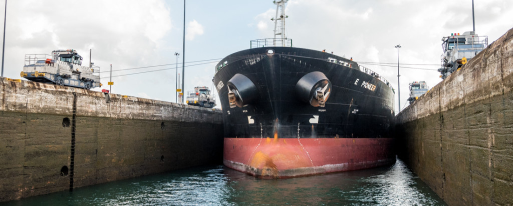
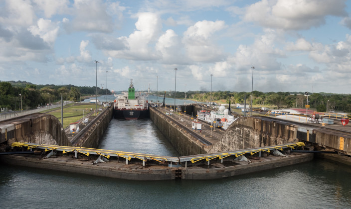
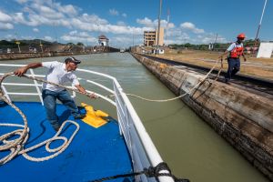
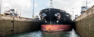
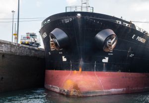
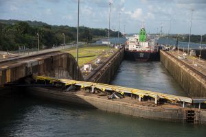
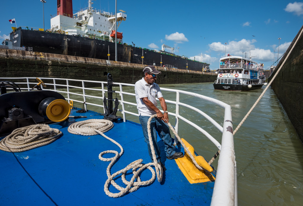
Big ships like this have only a foot or two of clearance on each side of the locks. Those train-like “mules” on the side walls pull and guide the ships through.
A French group had attempted a canal before, in the late 1800s. Their plan was a sea-level passage – a simpler design that wouldn’t need locks but which failed because it required way too much digging. Twenty-thousand people died in the French construction attempt.
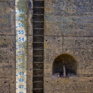
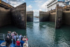
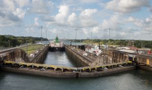
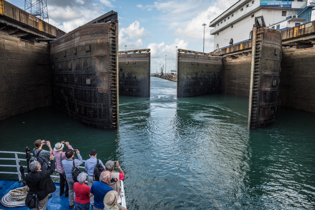 The U.S.-built canal has six pairs of locks – three up and three down — that raise boats to an elevation of 85 feet for most of the passage then lower them to the opposite ocean. The physics are driven by the good fortune of a major river (fed by seasonal tropical rainfall) in the middle of the isthmus. It’s dammed to make a huge lake, and water flows out in both directions – into both the Pacific and Atlantic – filling the locks along the way. The locks are in pairs to allow two-way traffic.
U.S. control of the Canal Zone lasted 65 years, from its completion in 1914 until 1979, when Jimmy Carter gave it (and the adjacent U.S. military bases) to Panama. From America’s perspective, the controversial (curious?) politics of that decision looked worse in hindsight: within a few years, Panama was a military dictatorship with drug-trafficking General Manuel Noriega running the country. By 1989, the U.S. had to send troops to oust Noriega, stabilize the country, and preserve the availability and integrity of the Canal.
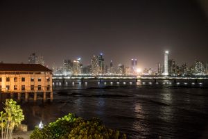
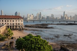
Today, Panama seems to be doing well, thanks in no small part to the revenues of the canal. As our boat guide said, if you come to Panama expecting a third-world country, you’ve come to the wrong place. The skyline of downtown Panama City looks like Miami Beach. Donald Trump has a big hotel and casino here. The main highways are in great shape, and I jogged one of the most impressive running paths (a two-mile bridge looping around Casco Antiguo) I’ve ever seen. This was not one of my off-the-beaten-path adventures.
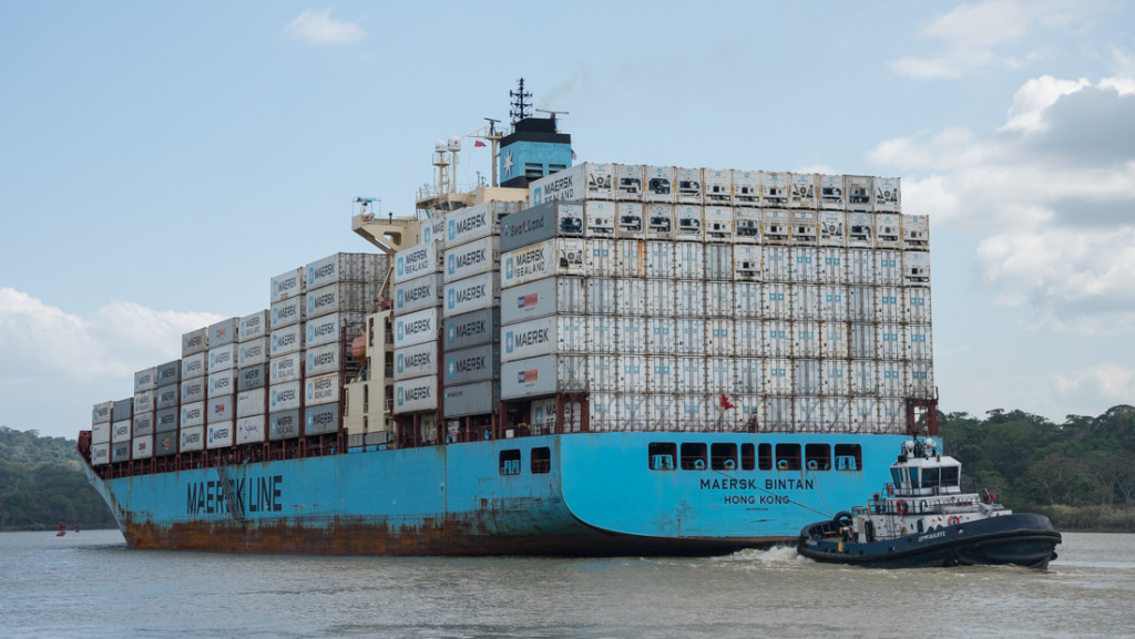
The Canal – aging though it is – is still considered one of the Seven Wonders of the Modern World. Its hundred-year-old gates swing dozens of times a day to connect the world’s two largest oceans. A new, larger set of locks is under construction for the canal, but the effort seems to be half-complete and floundering in delays.
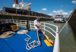
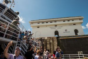
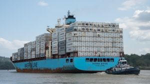
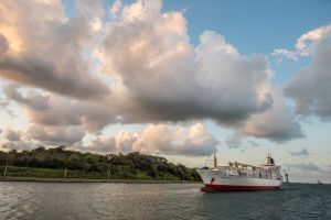
My own coast-to-coast passage was a bit on the touristy side – narrated in three languages, with lots of selfies, bad food, and Panama hats. We saw towering ships loom above us – some with 3,000+ cars inside, others carrying nearly 1,000 semi-truck-sized containers each, still others full of LPG and grain. The trip was long and slow: we shoved off early into Pacific saltwater and docked after sunset in a Caribbean harbor. I wouldn’t have missed it, but was glad I brought a book (and a hat, and sunscreen, and snacks).
