Category Archives: Landscapes

Lake Como

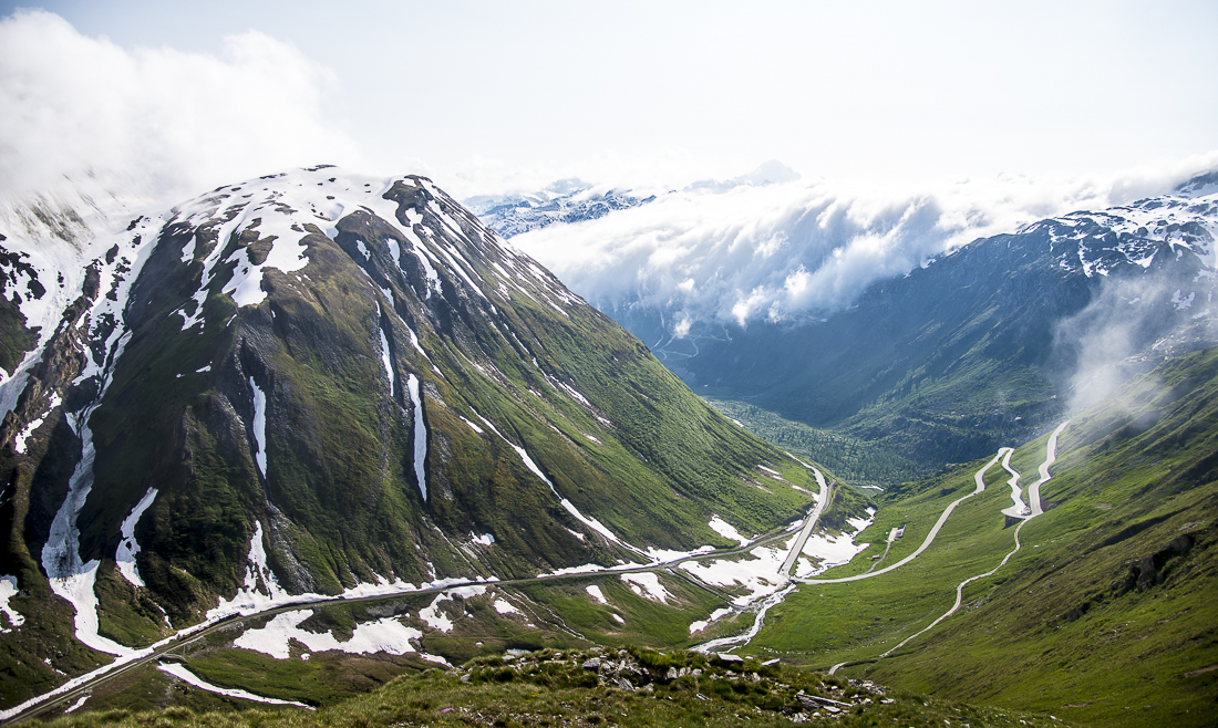
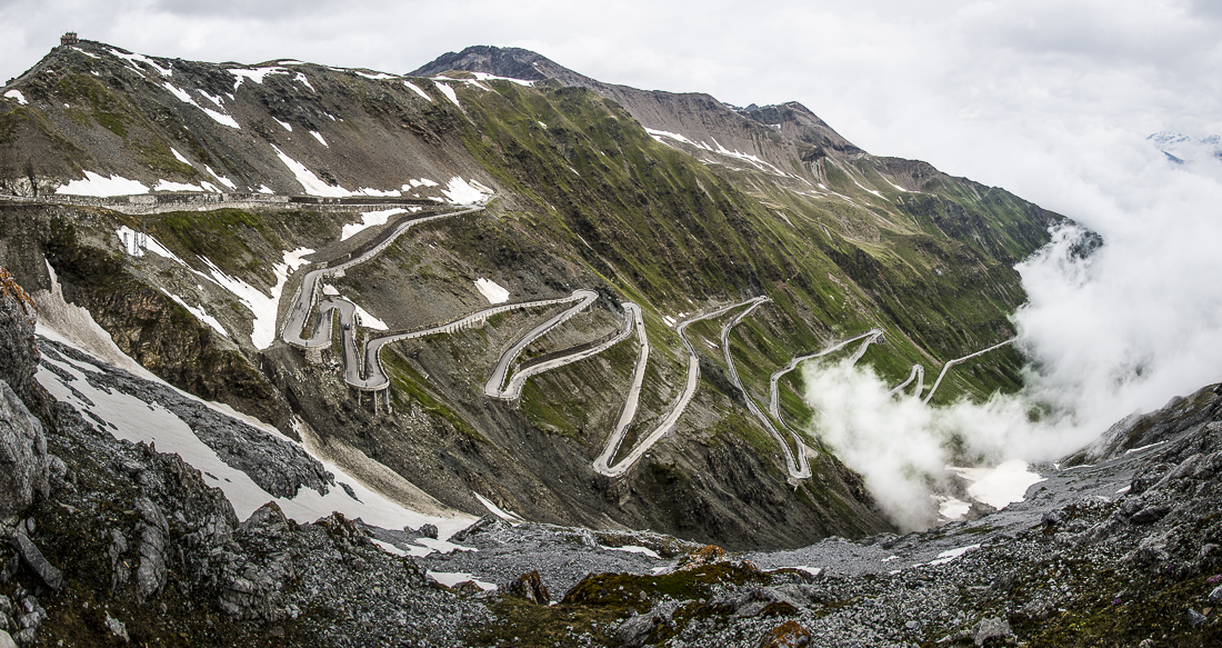
You know you’ve had a good (and busy) vacation when you almost forget your pictures from the couple of days spent driving around Lake Como.

_JD80562-2.jpg_JD80529.jpg_JD80532.jpg_JD80569.jpg_JD80573.jpg_JD80585.jpg_JD80610.jpg_JD80633.jpg_JD80658.jpg_JD80699.jpg_JD80746.jpg_JD80793.jpg

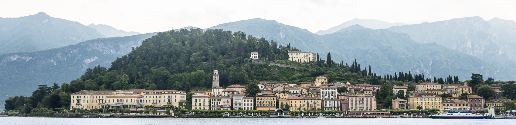
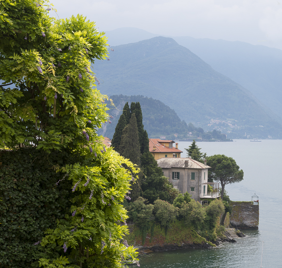
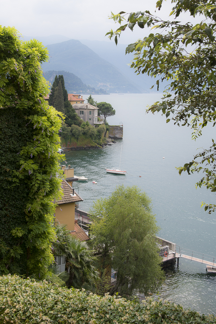
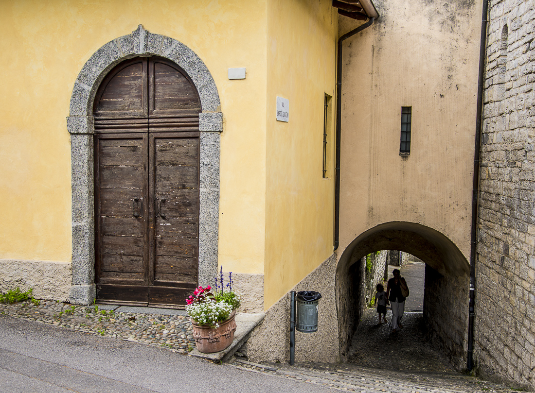
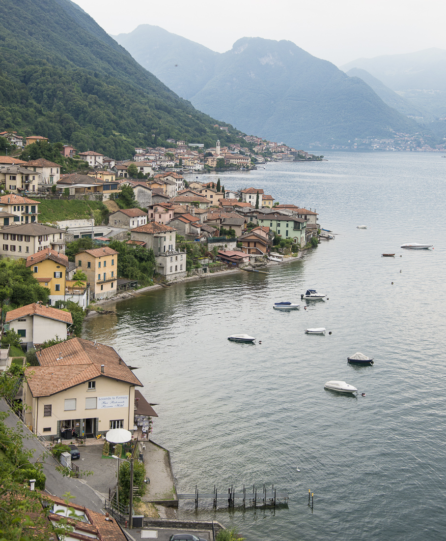
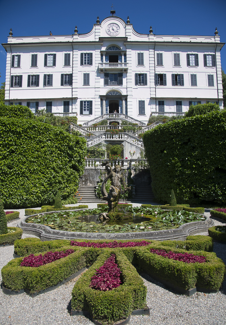
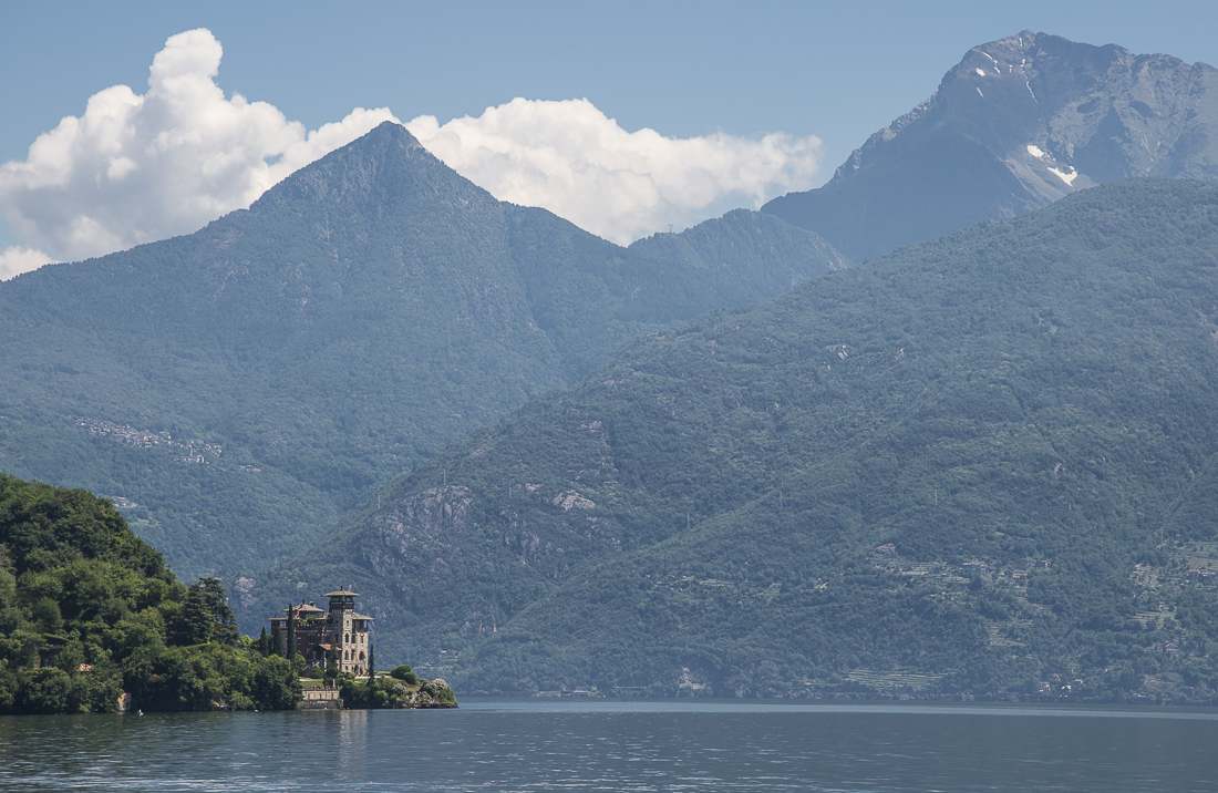
Lake Como, in the Lakes Region of northern Italy,  is the lake of the rich and famous — with villas owned by folks like Richard Branson and Madonna and George Clooney.  In that sense, it’s not really my kind of place, but the fact that it was also the home of a James Bond villain redeems the place entirely.  More important, the whole lake is a beautiful place.  Imagine Colorado-ish mountains surrounding a huge blue lake, then dot the hillsides with pastel-colored villas and villages.  Unfortunately the weather was pretty hazy when I was there, spoiling most of the across-the-lake shots.  None of these pictures do the place justice, but hopefully you can get a sense of the place.

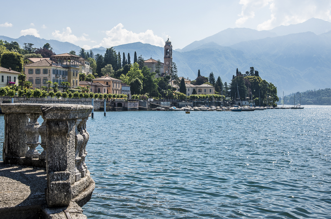
My first visit to Lake Como was about 20 years ago, and one of the lasting memories was driving the ridiculously-narrow roads out to Bellagio, which sits at the axis of the Y-shaped lake.  I apparently didn’t learn my lesson, and again had roughly 100 occasions where I just had to cringe and hope I didn’t loose a side mirror as I passed other cars.   That trip to Bellagio was before the folks in Las Vegas made the word “Bellagio” so famous in America.  That’s the town of Bellagio in that wide panarama shot, taken from a car ferry that cuts across the lake.


Completed Passes

In the Alps, there are lots of very-long tunnels and lots of very-high mountain passes.  Sometimes you get to choose between the two.  Tunnels usually make lousy pictures.  And sometimes you learn a thing or two by taking the high road.


The winding road you see in the picture just above is Stelvio Pass — where you leave the Tirol (i.e., Italy’s piece of the Tirolian Alps) and enter Lombardy (the Italian Lakes Region). The picture shows — above those clouds — only the last dozen or so of the 48 switchbacks it takes to get to the top.  You become incredulous that it can just keep going on and on.  Making things a little more interesting, I wound up following a Rolls Royce convertible — circa 1930 — most of the way up the pass.  Its drivers were wearing hooded fur coats and having even more fun than I was, though my Volvo handled the climb better than their 80-year-old Rolls.

In Tirol, they speak German; in Lombardy, they speak Italian like the rest of Italy. The underlying history is that the pass (or, rather, the nearly impassable mountain) was the 19th century border between the Tirol region of Austria-Hungarian Empire (to the east) and the Kingdom of Italy (to the west). It’s easier to defend a border if nobody can realistically cross it anyway. The now-Italian Tirol region was promised (and given) to Italy in exchange for their agreement to fight against the Germans and Austria-Hungarians in World War I, and Stelvio pass was the site of some nasty hillside battles.  The pass persists as a literal ‘language barrier,’ helping to keep the German-speakers to the east separated from the Italian-speakers to the west.

To help assimilate the former Austrians into the Italian way of life, the government gave new parallel Italian-sounding names to all the towns.  Apparently this largely consisted of changing the Ks to Cs, then adding a vowel to the end of every word.  Who knew it really was that easy to translate into Italian?!  Kastelruth is now Castelrotto.  Bruneck is now Brunico (Be sure sure to roll the R).

* * *

A few miles further up the road, after you head north into Switzerland, the Autostrada goes through the ten-mile-long St. Gotthard road tunnel.  It’s cool to know you’re five miles inside a tunnel with a mile or so of granite on top of you, but inside it really just looks like a tunnel.  So this time I opted for the road (less traveled) over the top instead:  a series of three mountain passes took me north and west toward Interlaken.

The first seemed impressive enough, with a nice view back down the valley to the town of Airolo (the picture just above).  The view from the second pass (pictures at the top and bottom of this post) was a little more surreal, with those clouds pouring down into the valley like a waterfall and disappearing as their altitude dropped.  There are no pictures from the third pass — which was essentially inside that waterfall of clouds — I drove those switchbacks with about 50 feet of visibility.  Certainly more exciting than the tunnel.

Operating post-camera-theft, I was (temporarily) working with just one camera and one lens, which was not my favorite ultra-wide angle.  The Stelvio Pass picture with all the switchbacks is a computer ‘stitched’ panarama, made from about five original photos. 

Italy’s Dolomites and the Alpe di Suisi

This is the hike I was taking while someone was back in town bashing in my car window and stealing my passport and my other camera (and lenses).  I’m trying not to think about whether the hike was “worth it.”

The Alpe di Suisi in northeastern Italy is Europe’s largest “high alpine meadow” — which means it’s an enormous mountain-top pasture that doubles as a ski area in the winter.  This time of year, it’s mostly covered in yellow flowers.  Surrounding it are mountains of the Dolomite range — a southern part of the Alps.  You can take a ski lift up to the grassy plateau area, and from there it’s a 3-hour (each way) hike to the top of one of the nearby mountains.  In the U.S., if you hiked that far up mountains you’d be alone up there with nothing but the wind and the Powerbars you’d carried up there yourself.  Here (as in Switzerland, you get to the top and find a restaurant and hotel — without a road in sight and supplied by a miles-long pulley system that raises casket-sized baskets to the top.

It’s a great, beautiful area — these pictures really don’t do it justice.

_JD80190.jpg_JD80162.jpg_JD80378.jpg_JD80207.jpg_JD80231.jpg_JD80132.jpg_JD80288.jpg_JD80403.jpg_JD80409.jpg

There’s a squarish picture in the batch above with the green diagonal hillside on the lower right and rocky mountain walls behind.  The far upper left-hand corner of that picture was the destination of the hike and the site for that restaurant.  There was a lot going on on the Alpe di Suisi:  the Italian military was doing paratrooper practice jumps, for example. 


Yellowstone: 35 Years Later

A quick trip to Yellowstone and the Tetons with my Uncle Tommy and Aunt Barb


_JC81408.jpg_JC81594.jpg_JC81678.jpg_JD88207.jpg_JD88621.jpg_JD88390.jpg_JC81684.jpg_JC82003.jpg_JC81619.jpg_JD88422.jpg_JC81616.jpg_JC81952.jpg_JD88576.jpg_JC81382.jpg_JC81694.jpg_JC81779.jpg_JD88151.jpg_JC82002.jpg_JC82135.jpg_JD87988.jpg_JD88301.jpg_JD88434.jpg_JD88529.jpg_JD88385.jpg

It was my uncle Tommy McCreight who first put a real camera in my hands — back in the 1970s.  And by bringing me along on their family car trips to places like Yellowstone, it was Tommy and my aunt Barb who taught me to travel.  As someone who now spends fully half his time traveling the earth with cameras in his hands, it’s fair to say those two made a big impact.

Every August, Barb would load up their green Ford van with her own kids (Dede and Dana), my sister and me, some of her inlaws and usually another kid or two.  This fact should figure prominently in Barb’s application for sainthood.  Tommy would load an arsenal of cameras, and we’d all hit the highways.   Tommy took pride in the astounding distances we could cover, so the days started early.  I don’t think we ever had an advance reservation at a hotel or motel; we never knew where we’d wind up, but as often as not, it was Yellowstone.  Tommy says he’s been there 23 times.

My cousin Dede emailed me a week ago, inviting me to join them (Tommy, Barb, Dede, Dana, Dana’s three kids, and Dannon’s boyfriend, Garrett Ford) on their first trip to Yellowstone in at least a decade.  I hadn’t been since about 1978!  I’ll surely never be able to repay Tommy and Barb for the patience and generosity it took to invite my sister and me along back when we were kids, so instead I just got to tag along with them one more time, 35 years later.

We had a great time.  It had been a long time since I had the chance to spend more than a couple of hours at a time with Tommy, Barb and my McCreight girl-cousins.  Dede and Dana are now Dr. Dede (physician) and Dr. Dana (dentist).  We laughed about all the things that had changed in the last 35 years — and laughed even more about all the things that hadn’t really changed a bit.

_JC82051.jpg_JC81440.jpg_JC81451.jpg_JC81497.jpg_JC81519.jpg_JC81728.jpg_JC81753.jpg_JC81816.jpg_JC81860.jpg_JC81866.jpg_JC81878.jpg_JC81913.jpg_JC81918.jpg_JC81919.jpg_JC81993.jpg_JC82030.jpg_JC82056.jpg_JC82105.jpg_JD88501.jpg_JC82119.jpg

I generally lack the both the know-how and the heavy-duty equipment for serious wildlife photography, but the McCreights are huge wildlife lovers, so I had to give it a try.  Results were mixed:  for some reason my pictures of relatively docile grazing animals are conspicuously better than my more-distant shots of flesh-eating predator species.  The coyote you see was eating a baby elk – nature at its goriest.  The curly-horned animals are bighorn sheep – not to be confused with Rocky Mountain goats.  We spotted that Moose out the window of a restaurant at lunch.   The waterfall you see in multiple shots is Lower Falls.  The steamiest pictures are at the Grand Prismatic Spring, which is an amazing sight that was almost entirely hidden by foggy steam on the cool day we were there.

Photo credit for the shot with me in it goes to my cousin and long-time fellow photographer, Dana (McCreight) Ellis.  I must have been standing uphill from Tommy and Barb because I’m not as tall as it looks there.  Dana was mostly successful in her scheme to avoid being photographed herself.  That’s Dede in the orange coat.  Creighton is in stripes.  Dannon and Taegen are the twins:  Dannon is in the tan coat, usually standing next to Garrett (who is often in camouflage). 

Patagonia 2013: Autumn in April

The last set of pictures from my April 2013 trip to the Patagonia region of Chile and Argentina.  

Mike Short and I had a fine couple of weeks in Patagonia.  We survived the trekking, and got to see some of the most stunning scenery in the world.  We logged almost 2,000 miles on our rental SUV, starting waaaayyy down south, then flying out of Coihaique/Balmaceda.  Even so, we covered only a tiny fraction of Chile (a smaller fraction of South America).

The hero of this trip was Jian Short, Mike’s wife.  Mike’s married with two kids and (along with Shane Merz) founded and runs a pretty-big company, so getting away for two weeks was a pretty impressive feat.   Thanks to Jian and to the team at MRE for holding down the fort(s) while he was gone.  He stocked up on camera equipment, and we spent many hours nerdishly chasing better light, and charting angles and locations where pretty fall leaves might line up with majestic mountains.

This post has the pics that didn’t seem to fit neatly in the specific categories of the other, prior posts.    The tall yellow trees (above) are near Cerro Castillo — at the end of our journey.  Just below is Hotel Lago Pehoe at Torres del Paine.  Below that are some guanacos — they’re everywhere, but these specific ones were standing in front of the mountains at Torres del Paine.  The glacier at bottom is west of El Calafate.

_JD80210.jpg_JD80240.jpg_JC88305.jpg_JC88619.jpg_JC88637.jpg_JC88901.jpg_JC88947.jpg_JD80186.jpg_JD80235.jpg_JD80345.jpg_JD80365.jpg_JD80412.jpg_JD81127.jpg_JD81160.jpg_JD81238.jpg_JD82341.jpg