Category Archives: Travel

New Zealand: Abel Tasman National Park

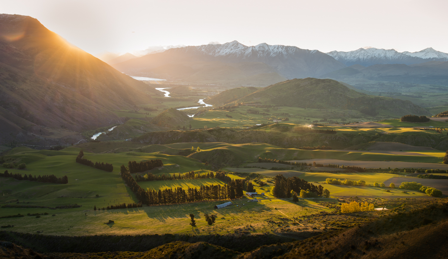
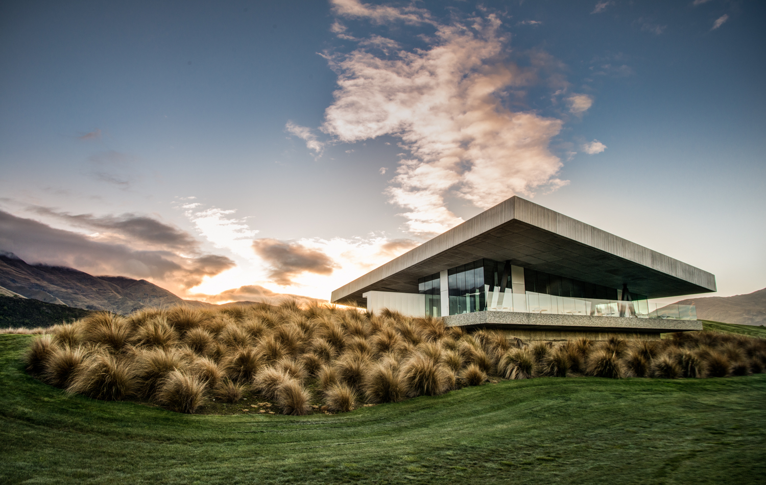
Abel Tasman is a big name in New Zealand.  You may think you’ve never heard of him, but you’ve heard of the Tasmanian Devil (from Bugs Bunny if not from the local zoo).  That little devil was named after the Australian island of Tasmania, which in turn was named after Abel Tasman.  He was the Dutch explorer who first sailed to New Zealand back in the 1640s.  Today, New Zealand’s longest glacier, its second-highest mountain, a river, a lake, a rock band, a national park, and the entire Tasman Sea between New Zealand and Australia are named for him.

Tasman stopped for water in New Zealand, wrongly thinking it was part of Argentina.  The friendly Maori locals attacked him and killed some of his sailors.  He bravely sailed away, never to return.

A lot of the European explorers of that era were “discovering” lands that had been inhabited by humans for thousands or even tens of thousands of years.  But the arrival in New Zealand of the Europeans and the ‘aboriginal’ Polynesian Maori was a virtual dead heat by those standards — the various tribes of Maori arrived starting around the year 1300 and apparently spent much of the next 500 years warring among themselves for control of lands (occasionally eating the conquered, and maybe a few 18th-century European missionaries).  It was the Brits who ultimately took control in the 1800s, so British customs, language, culture (and left-sided driving) prevail today.

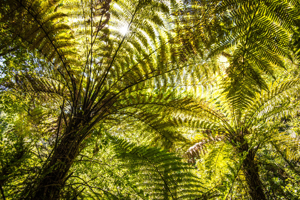
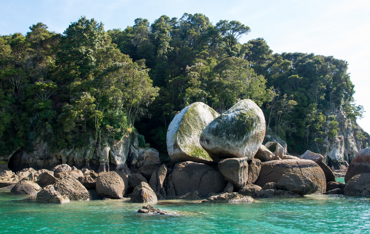
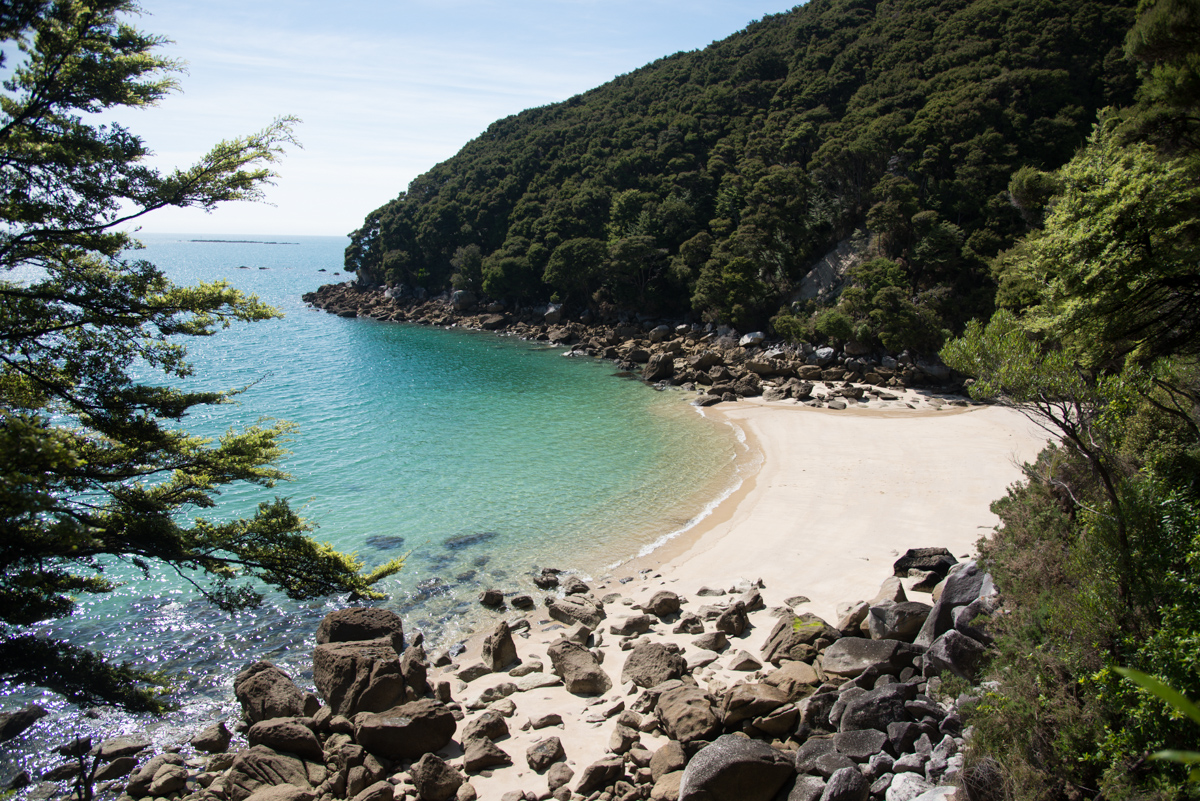
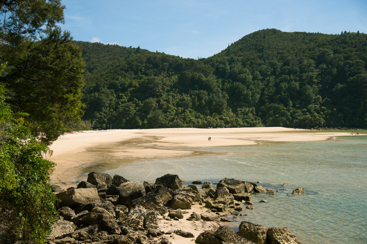
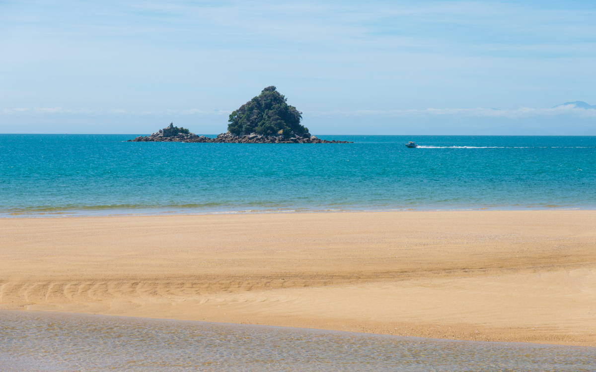
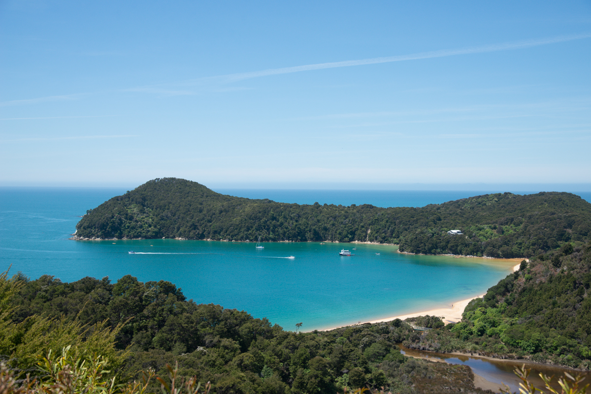
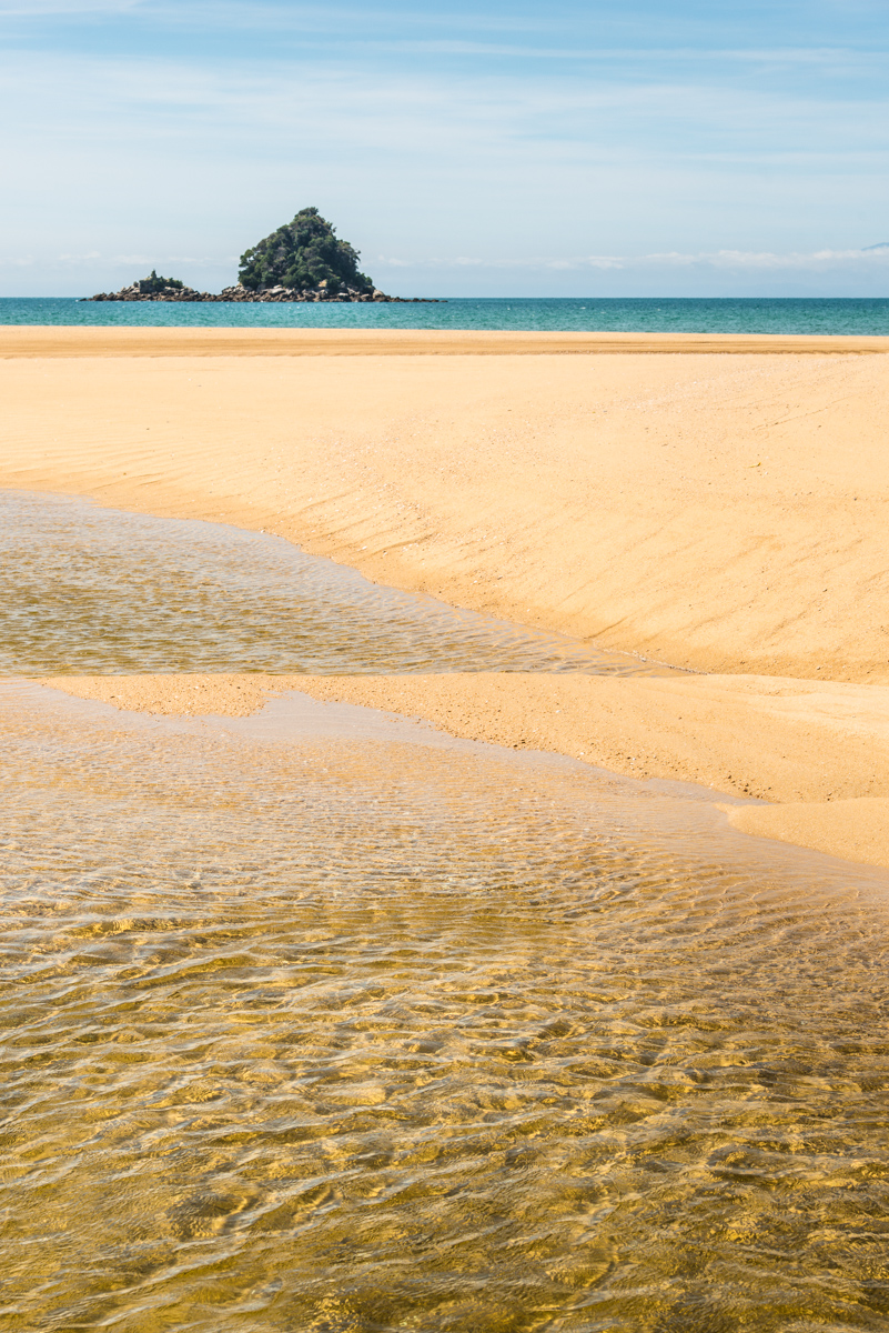
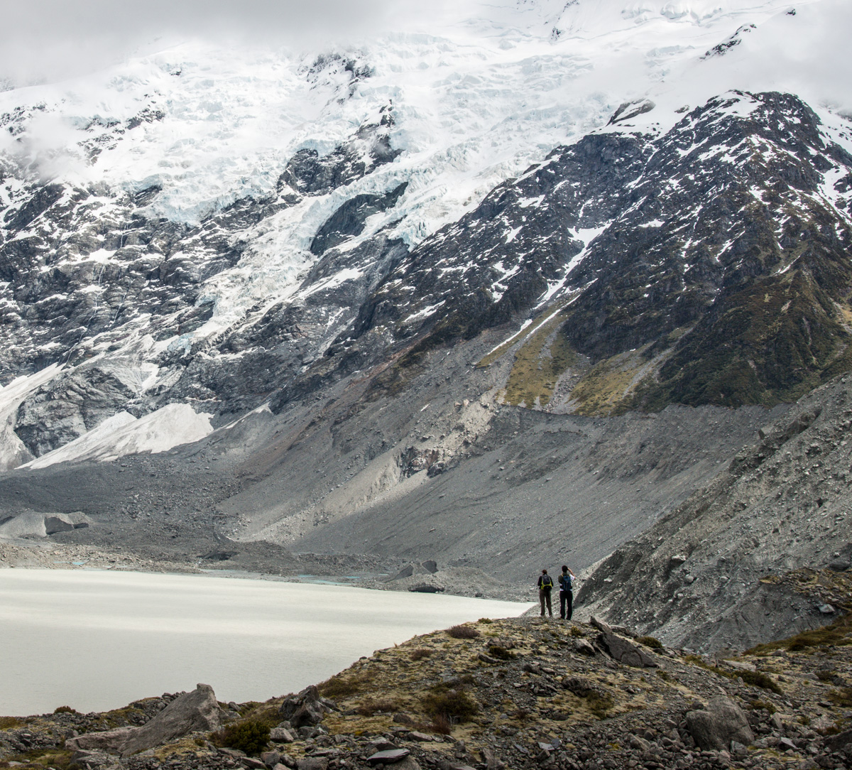
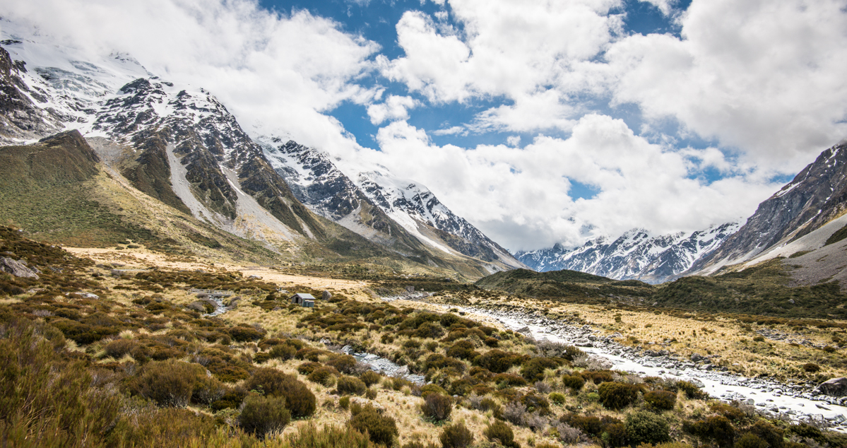
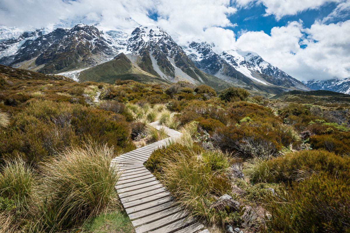
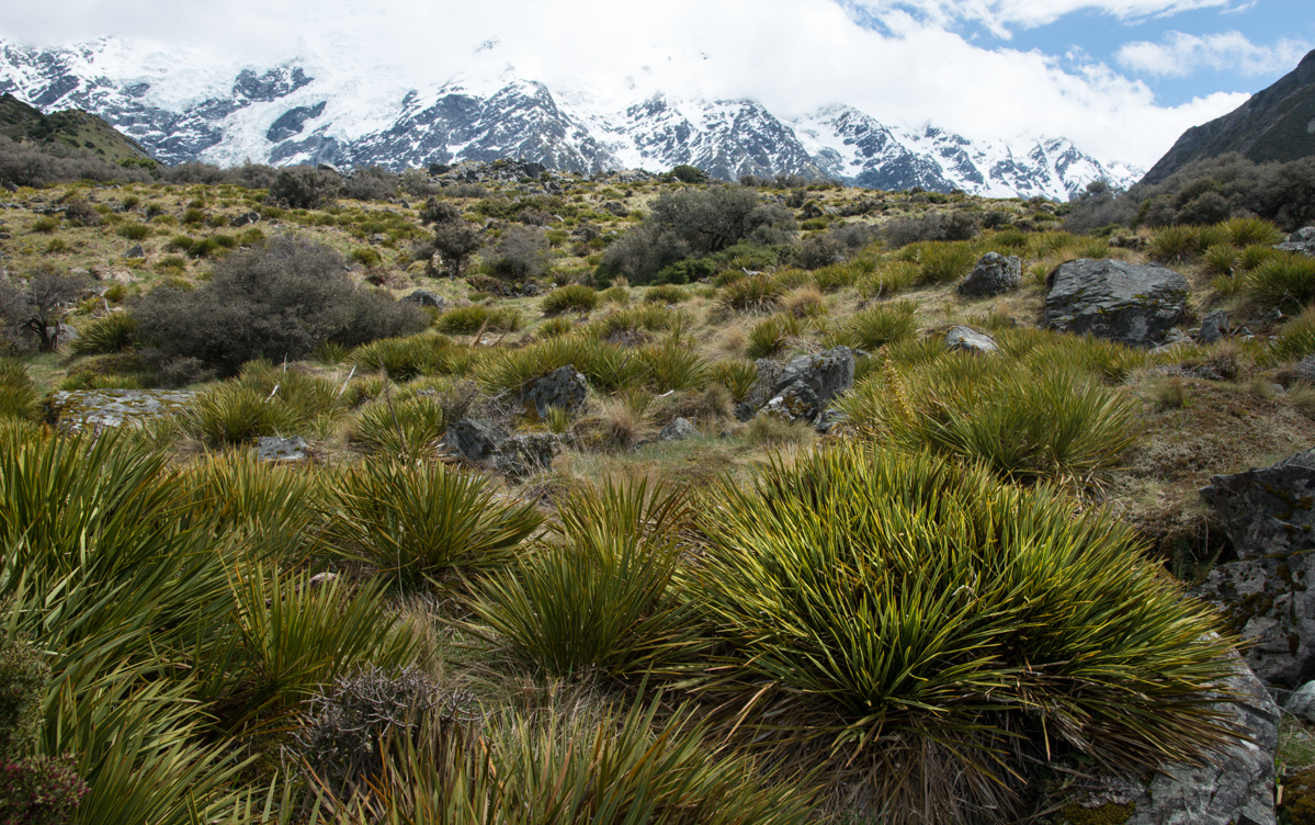
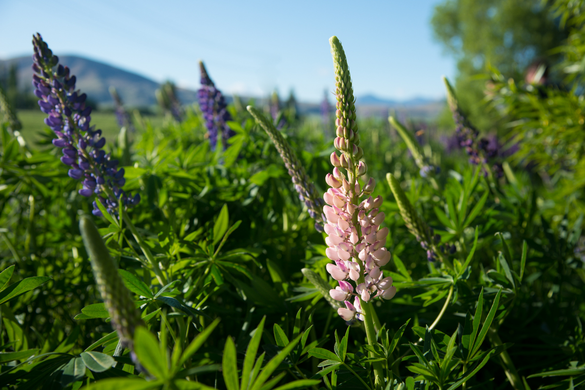
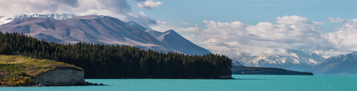
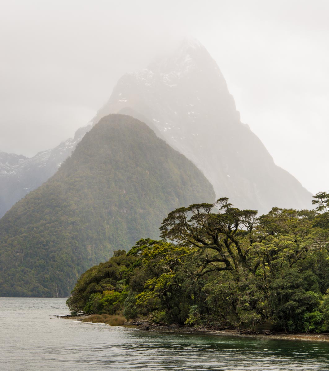
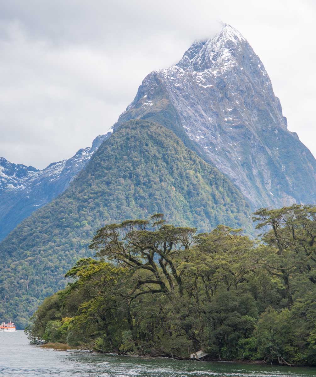
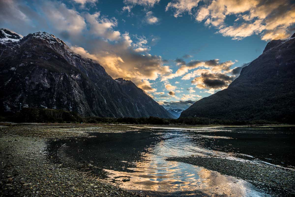
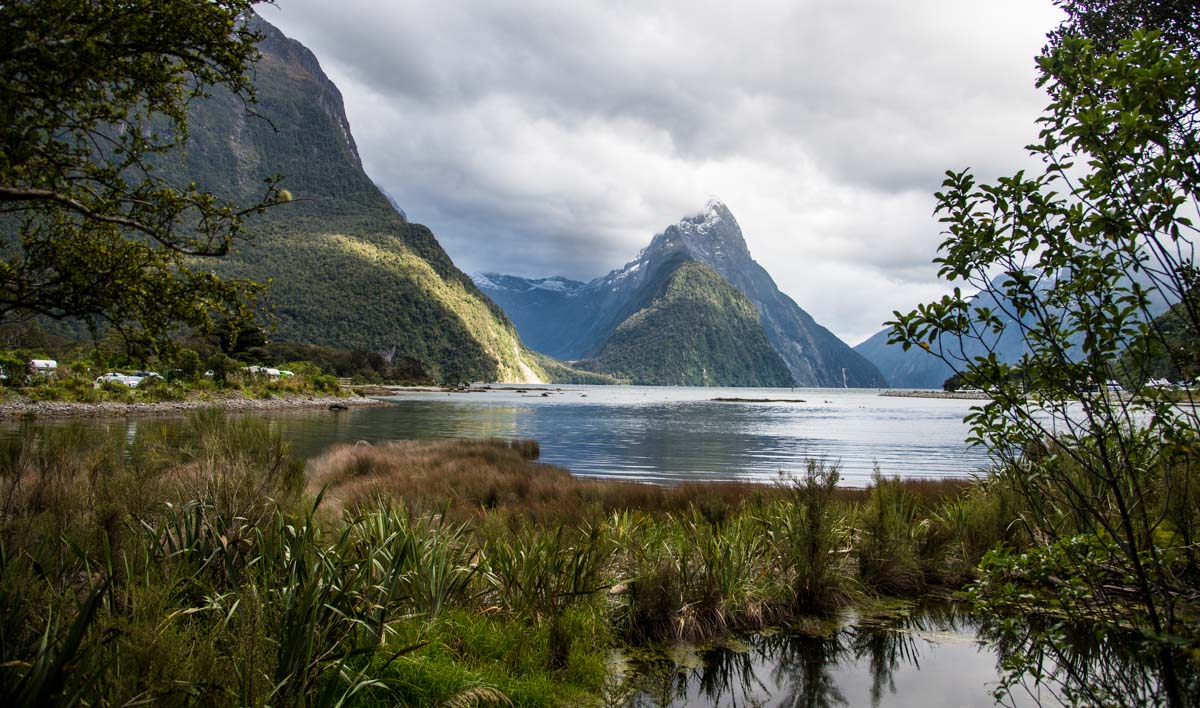
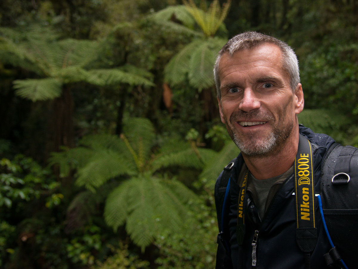
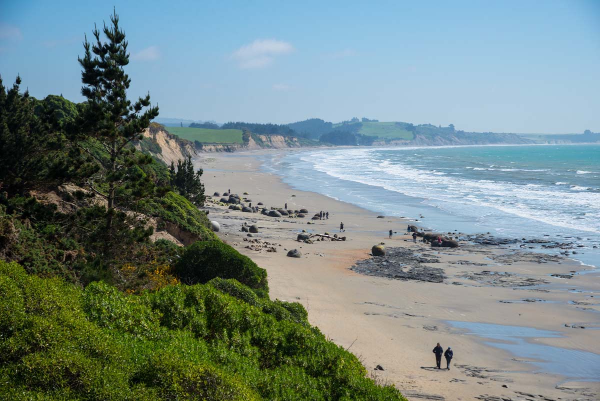
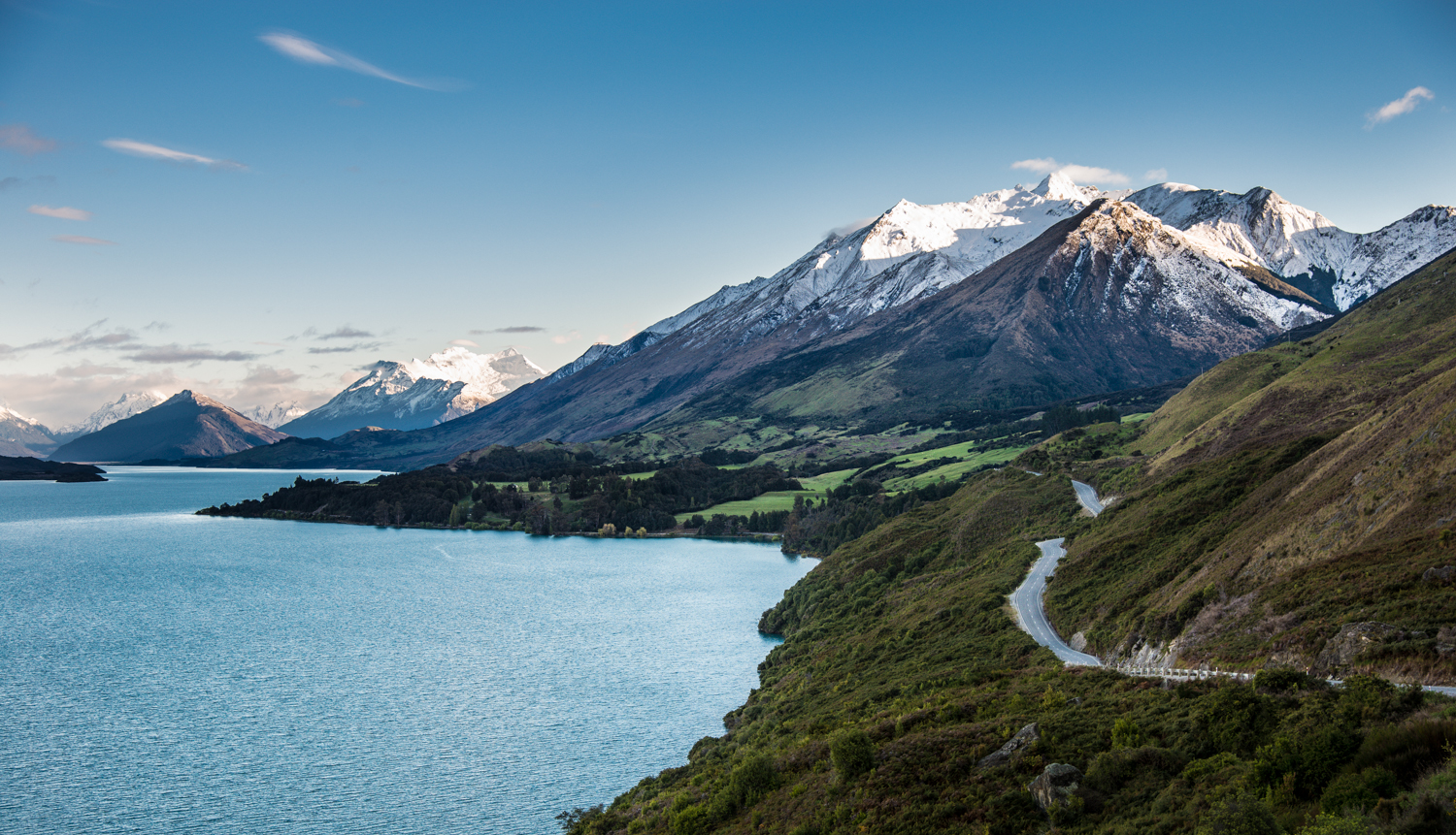
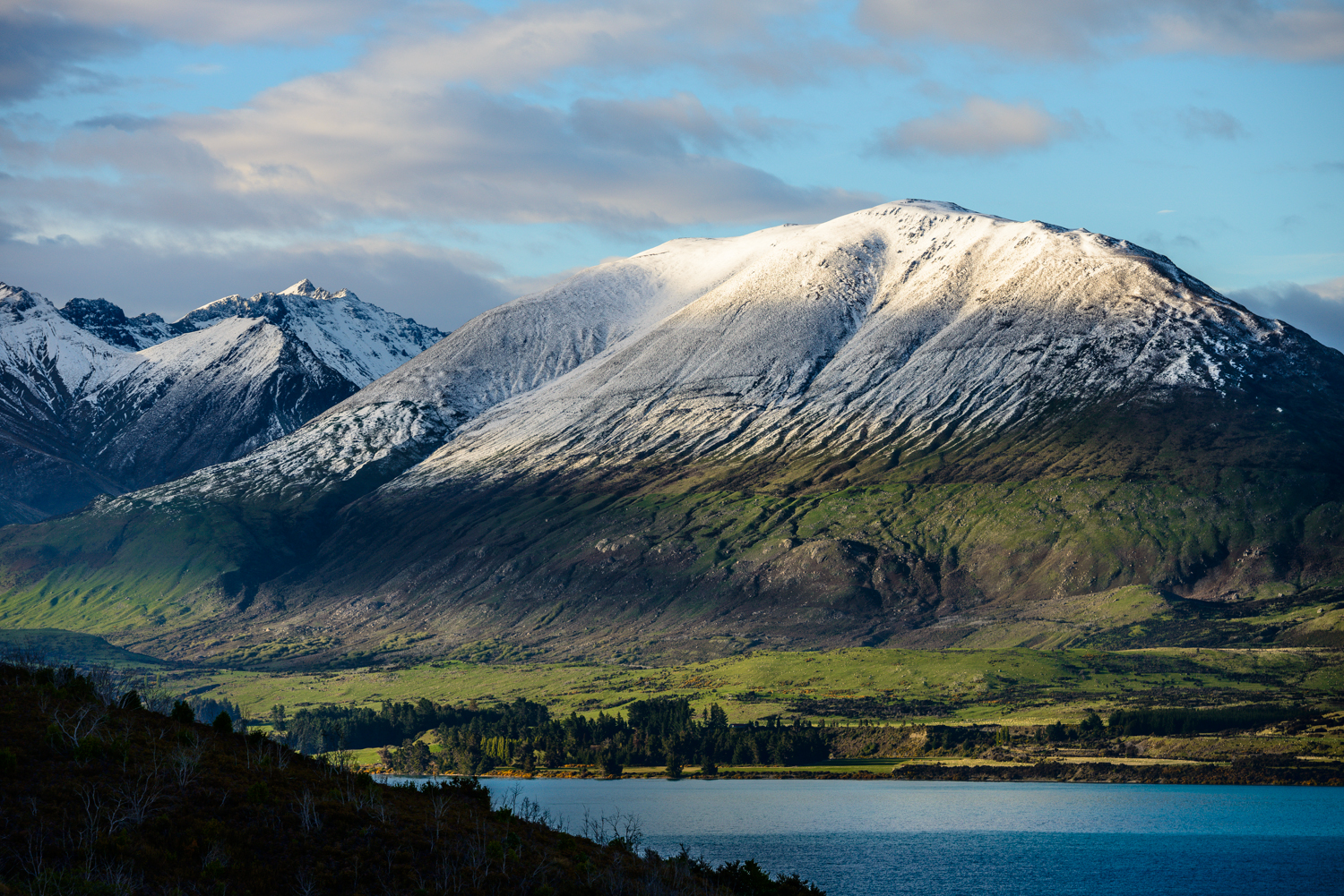
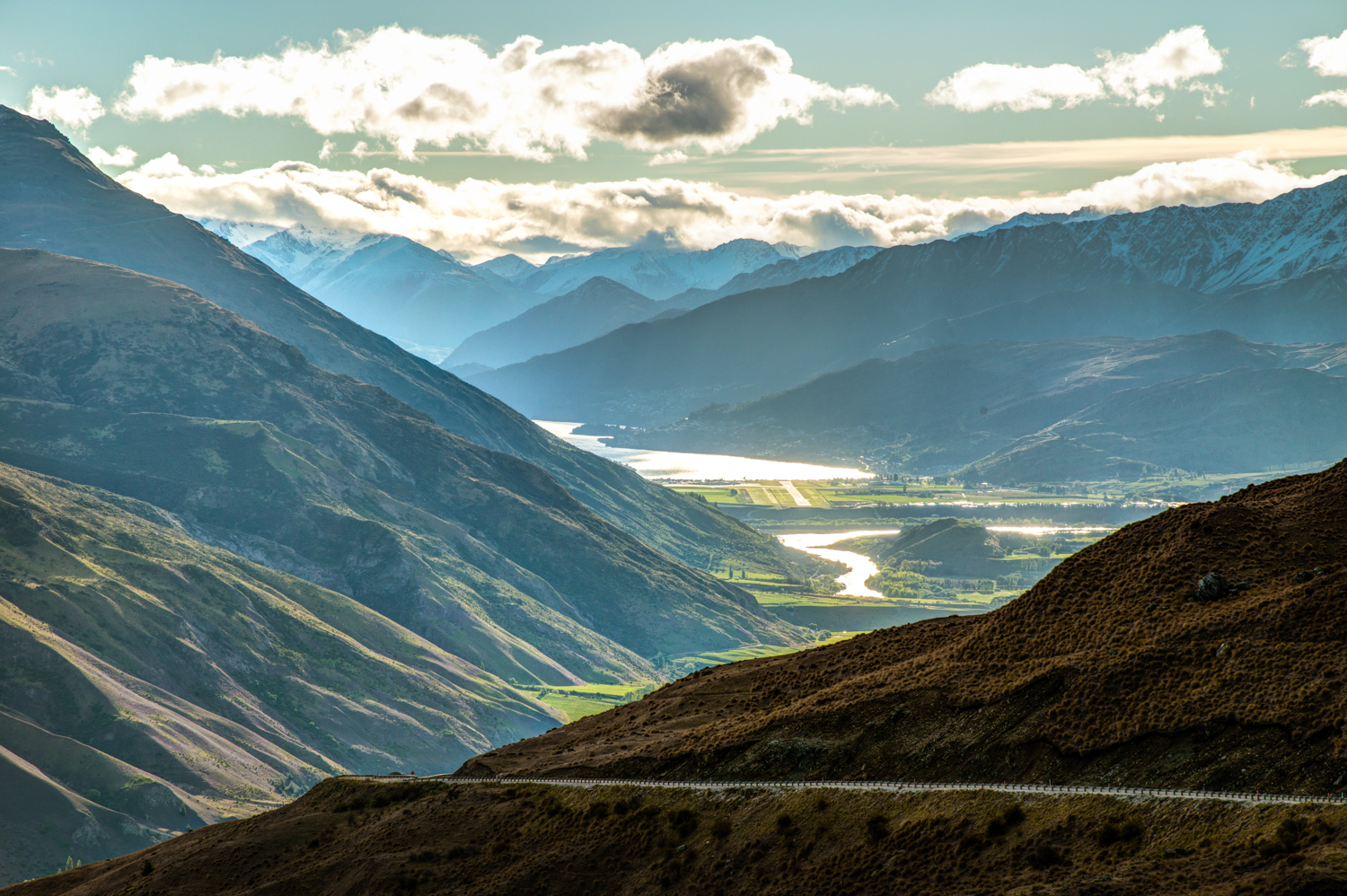
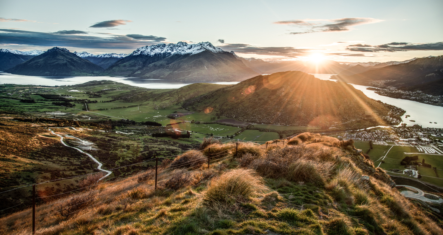
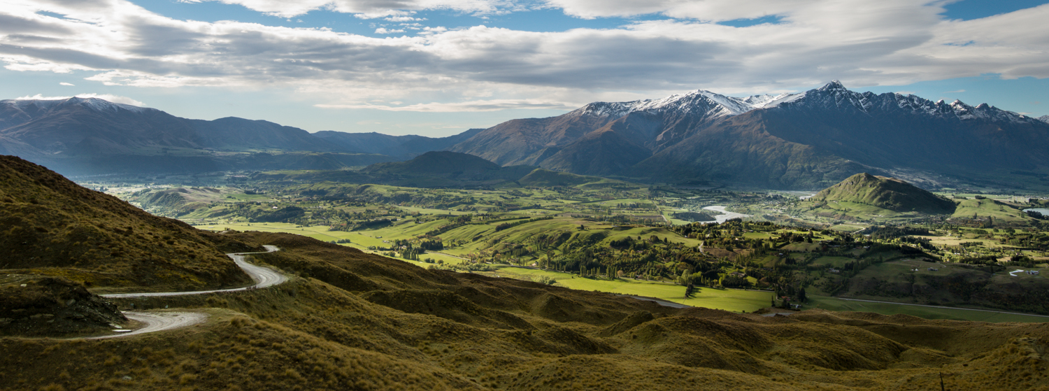
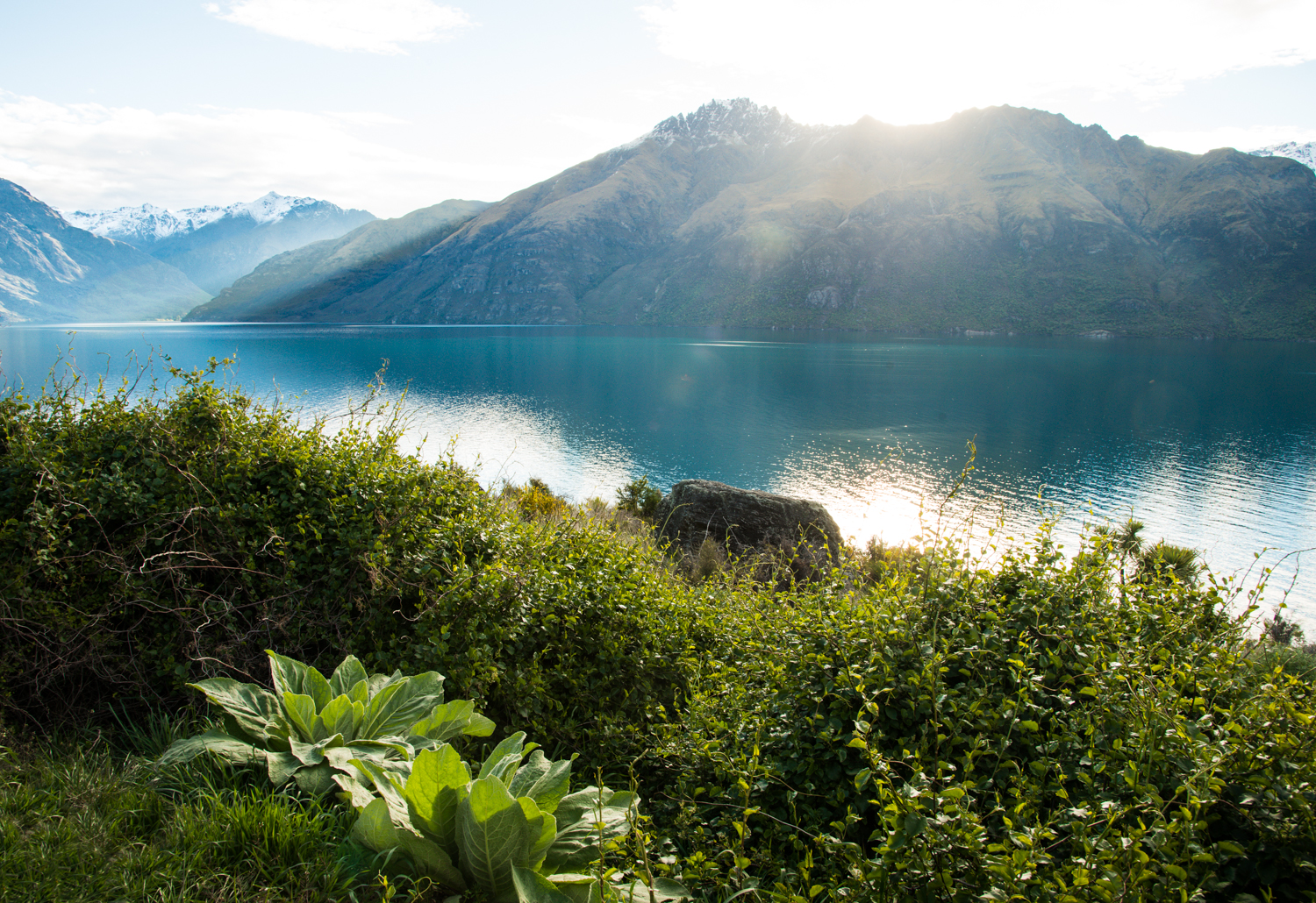
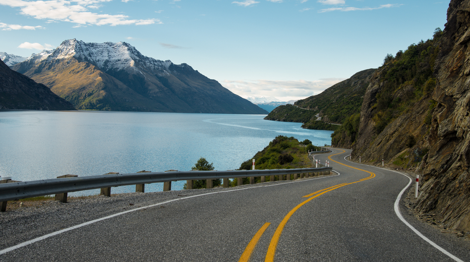
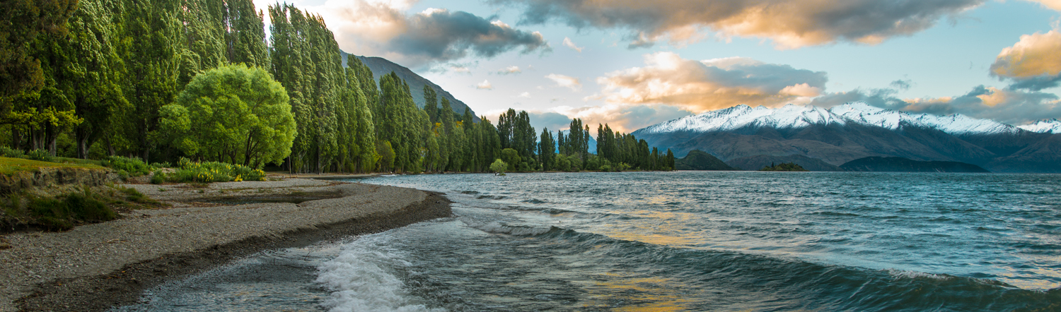
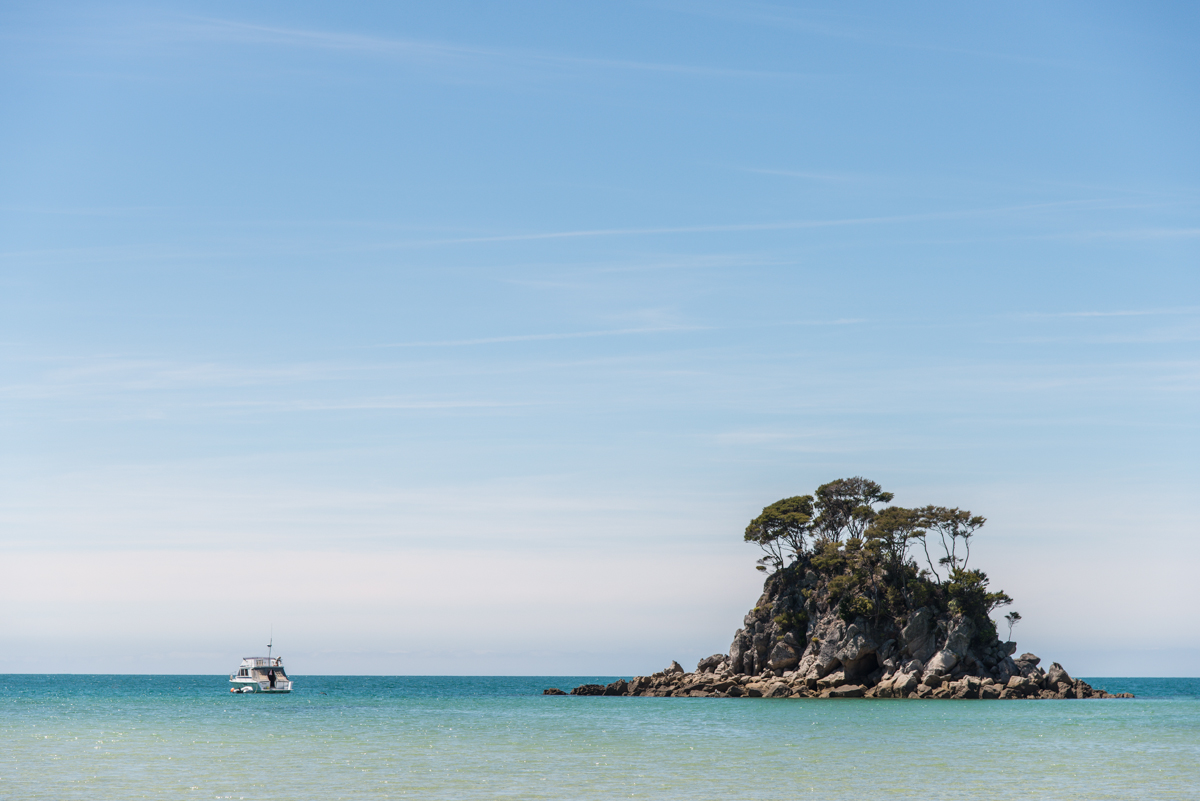
The Abel Tasman National Park is New Zealand’s smallest national park — and perhaps that’s fitting, given his short and inauspicious time here.  (I’ve spent more time here than he did, after all, and my interactions with the locals have been much more amicable).  The main activity at the Park is hiking — mostly along the coast, from beach to beach through rain-foresty jungle.  I spent a couple of days here.  There are ‘huts’ where you can sleep inside the isolated parts of the park, but I’ll admit I caught the water taxi out and slept in a snug bed at a little ‘lodge’ back in the town of Motueka.


_JD81701.JPG_JD81724.JPG_JD81762.JPG_JD81765.JPG_JD81781.JPG_JD81891.JPG

Mt. Cook, New Zealand

2013 was my Year of Mountains!  I hiked and/or biked them on four continents in Patagonia, Europe, Colorado, and here.  Next year?  Beach!!

Pennies aren’t lucky in New Zealand.  In fact, so ill-fated is the New Zealand one cent piece that it’s been extinct for over 20 years.  So, too, is the New Zeland nickel a numismatic dinosaur.  The smallest coin is a dime (worth about 8 U.S. cents).  How refreshing it is not to fill one’s pockets with coins that buy nothing.   And to see prices (except gas)* almost always rounded to the nearest dime or dollar.  How many collective seconds, minutes and hours do American waste shuffling copper coins, making change, and accounting ‘down to the penny’?  We could learn some things from the Kiwi.

And sales tax (actually a “goods and services tax”) is built in to the retail prices — not calculated anew on each transaction and awkwardly added on after the fact like we do in the States.  So if something is priced $1.00, that’s actually what you pay.  Coincidentally — but further contributing to Kiwi transactional simplicity  — ‘tipping’ is not part of the traditional custom or culture here.  Of course in tourist areas it’s not unheard of, but it’s not an expectation and your credit card slip won’t even have a place to add the tip.  No pennies, no tax, and no tip unless you want to.  Thus when the cafe menu at Mt. Cook Village said my fish and chips would be $18, that’s what they meant:  $18.  I got a $2 coin back from my $20 bill.

The nearby mountain — the tallest in the country — is over 12,000 feet, which means Mt. Cook rises about 10,000 feet above the surrounding terrain.  I did a 3+ hour hike to get sort of close and to see the 7-mile-long Hooker Glacier dumping icebergs into muddy Hooker Lake, but the clouds never really parted enough to see the whole of Mt. Cook all at once.  That picture at the top of the post — showing at least most of the mountain without cloud cover — was taken from the highway about 20 miles from the mountain as I drove away in the late afternoon.  I took this in the first 30 seconds after hopping out of the car, then stood around nearly an hour waiting for the clouds to part again and give me another chance once I got into a better spot.  That didn’t happen.

_JD80805.JPG_JCE5017.JPG_JCE4992.JPG_JCE5081.JPG_JD80759.JPG_JD80771.JPG_JCE5107.JPG_JD81006.JPG_JD80624.JPG_JD81131.JPG_JD80665.JPG_JD80725.JPG_JCE5331.JPG_JD81031_2_3_4_5-Edit.JPG

The picture (below) with the crazy-blue lake and the mountain (still covered mostly by clouds) in the distance is from Lake Pukaki — about 40 miles south of Mt. Cook.  It gets the turquoise color from the silt that comes out of the glaciers.  The glowing blue of the lake even made the clouds above it look a strange bright blue.

*Gas is around $2.30.  Per LITER.  So over $9 a gallon.

Milford Sound: Fjordlands, New Zealand

One of New Zealand’s top destinations is a town with a population of just about 150.  There’s one cafe and one ‘lodge’ with mostly dorm-style rooms and a few bathroomless ‘cabins’.  But there’s a whole fleet of boats and ships ready to take you through the valley and out to the Tasman Sea.

Milford Sound is a “fjord” – a large bay-like inlet, initially carved by a glacier thousands of years ago.  This means it’s U-shaped at the bottom, not V-shaped like canyons that are carved by rivers.  In the rainy spring season, there are waterfalls everywhere – several of which run off cliffs and then disappear into the wind before the water ever hits the ground.


The Sound is part of southwest New Zealand’s Fjordlands National Park, and part of the Te Wahipounamu UNESCO World Heritage Site.  If you’re not already familiar with UNESCO’s list and if you ever get anywhere near the bottom of your personal bucket list, check out the UNESCO sites (1,000 or so natural and cultural wonders around the globe) and you’ll have lots more destination ideas.  Apparently there’s a lot to see in the World.

_JD89644.JPG_JD89661.JPG_JD80236.JPG_JD89696.JPG_JCE4546.JPG_JD89833.JPG_JCE4678.JPG_JCE4674.JPG_JD80179.JPG_JD80192.JPG_JD89951.JPG_JD89732.JPG_JD89931.JPG_JCE4260_1_2.JPG_JCE4393_3_5-Edit.JPG_JCE4443.JPG_JD89581.JPG_JD89714.JPG_JCE3880_1_4.JPG_JD80146.JPG_JCE4823.JPG_JD80345.JPG

That pointy peak you see in several pictures is Mitre Peak – named after a bishop’s hat, which has roughly the same shape.  The dark blobs on that rock (with a boat in the background) are sleeping seals.  The humans you see in a couple of shots are American photographers who were my hitchhiker/travel buddies for a few days (Mark Hubbard and Josh Whiton).  The shots below are from the long out-and-back road that leads out to Milford Sound.


New Zealand’s Moeraki Boulders


Here’s something strange.   On a small stretch of Koekohe Beach — about halfway up the Pacific Coast of New Zealand’s South Island — there’s a group of a few dozen spherical rocks.  The biggest are about six feet in diameter.  Stranger still:  a few are broken open, revealing that the inside is hollow, and lined with crystals.  It’s Land of the Lost meets Mork from Ork.

The Moeraki Boulders are a New Zealand landmark.  They’re similar to the softball-sized geodes that are common in North America,  except they’re so big you can crawl inside the hollow middle of a broken one.  There are lots of legends about where they come from, but the most plausible one is pretty boring (something about geological “concretion” of calcite sediment) and doesn’t involve aliens or sleestaks (or even crop circles).

_JD81165_6_7.JPG_JD81334.JPG_JD81357.JPG

Kiwi Springtime: Queenstown, New Zealand

New Zealanders refer to themselves as “Kiwis.”  And of course most Americans are aware of the brown, furry fruit of the same name.  But if you’re tracing the original source of the term “kiwi,” be aware that the chicken-sized bird came before that egg-sized fruit.

A Polynesian tribe known as the Maori are considered the aboriginal people of New Zealand.  Apparently, they arrived by seagoing canoes (from Tahiti, perhaps) around the year 1300 — about 350 years before Dutchman Abel Tasman first arrived on New Zealand shores.  “Kiwi” is the Maori name for a brown, round, furry-looking chicken-sized flightless bird that’s native to the islands and which has become the national symbol and namesake.   The fruit originally known as a Chinese Gooseberry first became a popular agricultural crop in New Zealand in the early 20th century, and was renamed “kiwi fruit” about 50 years ago.

The first leg of my Kiwi adventure has centered around Queenstown — a smallish town on New Zealand’s larger, southern island.  The nearby mountains  (the ones beneath those pink sunrises) are aptly named The Remarkables; my late spring (October/November) arrival is too late for skiing.

I know all too well that photographers can use Photoshop or similar tools to make some fairly ordinary scenes look spectacularly wacky.  That’s not what’s happened here — and not really my ‘thing’:  the light and the colors really do look this way.  I use some of the same tools to try to get a realistic image that does justice to this spectacular scenery.

Queenstown was my first stop in a country roughly the size of Colorado (if you stretched Colorado out and pulled it into two parts).  Onward.

.

.

Most of these shots are around Queenstown and Lake Wakatipu — almost all in the early morning or late evening.  The ones that look like a golf course are a golf course called The Hills — apparently a famous one and one that’s covered with modern-ish art sculptures.  The two long skinny horizontal pictures with water in the foreground and the tree-in-water and sailboat pictures are at at Lake Wanaka — about an hour northeast of Queenstown.

_JCE0918.jpg_JCE1079.jpg_JCE1114.jpg_JCE1276_7_8a.jpg_JCE2158_60_62.jpg_JCE1463.jpg_JCE1482.jpg_JCE1558.jpg_JCE1635.jpg_JCE1748.jpg_JCE1936.jpg_JCE2014.jpg_JCE2042.jpg_JCE2718_19_20.jpg_JCE2346.jpg_JCE2369_70_71.jpg_JCE2387_8_9.jpg_JCE2577.jpg_JCE2591.jpg_JCE2859.jpg_JD89527.jpg


Photographers:  3 or 4 of these pictures are “HDR” shots that use 3-4 different images (same scene, different exposures) and crunch that down so you can see both the deep shadows and the bright skies and sun.  Hopefully you can’t tell which ones.   Mostly I get the same results with the D800 + Lightroom.  I tried to force myself to use a tripod, especially on scenes where I’m ‘bracketing’ multiple images for HDR.  But I hate it — it slows me down and cramps my (literal) style.  It’s amazing how well the software can align handheld shots.  I’m putting that damn tripod back in the suitcases.